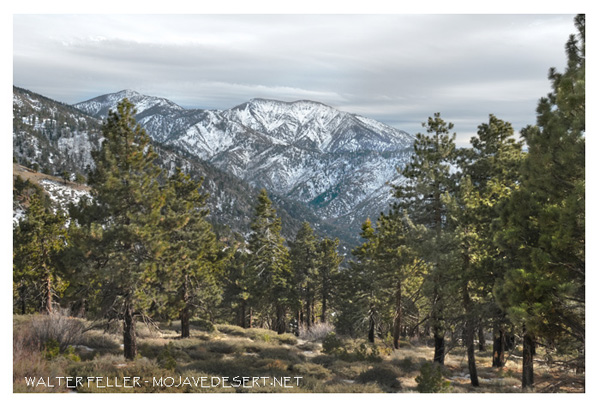
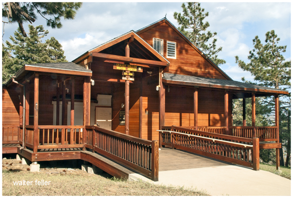
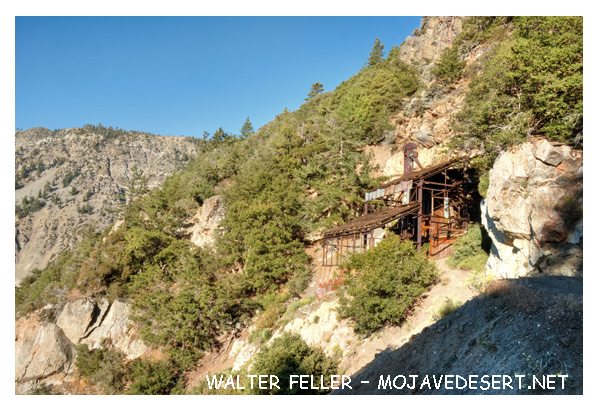
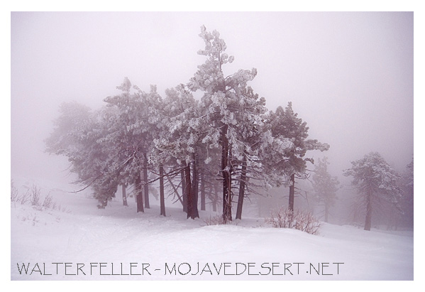
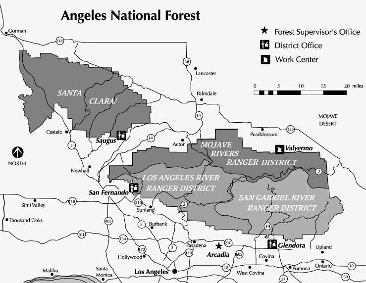
Angeles National Forest
The Angeles National Forest provides approximately a thousand square miles of open space and various recreation opportunities for millions of Los Angeles residents and visitors worldwide.Aside from the nearby city, the Angeles National Forest offers a natural environment, spectacular scenery, campgrounds and picnic areas, swimming, fishing, and solitude. The forest offers trails for hikers, equestrians, mountain bikers, and those who enjoy off-highway vehicles. -wf
Aside from the nearby city, the Angeles National Forest offers a natural environment, spectacular scenery, campgrounds and picnic areas, swimming, fishing, and solitude. The forest offers trails for hikers, equestrians, mountain bikers, and those who enjoy off-highway vehicles. -wf