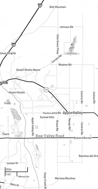
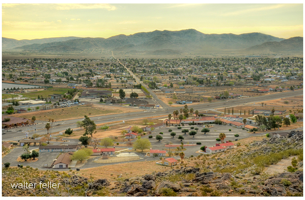
Apple Valley, California
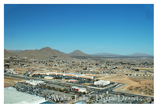
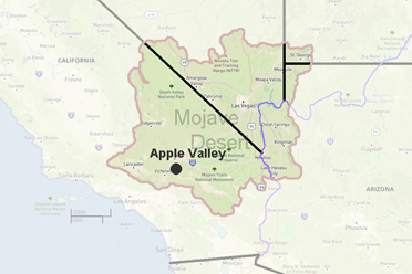
Apple Valley is located in the Victor Valley of San Bernardino County, California, incorporated on November 14, 1988. The town of Apple Valley is located 10 miles east of neighboring Victorville, 37 miles (60 km) south of Barstow and 46 miles (74 km) north of San Bernardino through the Cajon Pass.
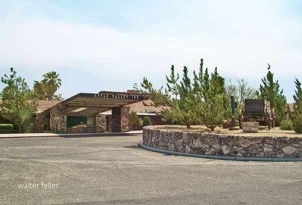
Apple Valley Inn
In the early 1900s, resident, Ursula M. Poates is credited with giving the area its name by simply shortening the name of the locally based Appleton Land Company and calling it Apple Valley. �There were some apples being raised along the river in those early days, but not by the ton, so I just cut it down and called it Apple Valley!� The name was official in 1949 when the first post office was established.
Geography
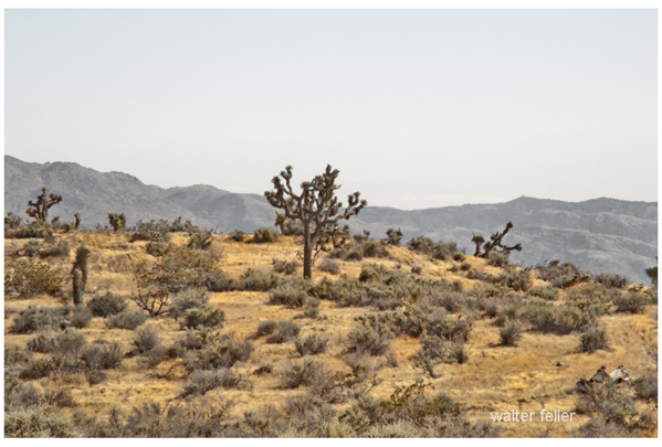
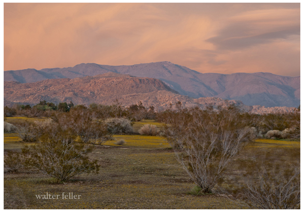
Apple Valley is located near the southern edge of the Mojave Desert. It is bordered by Victorville on the west and Hesperia on the south sides.
According to the United States Census Bureau, the town has a total area of 190.7 km� (73.6 mi�) of which 189.9 km� (73.3 mi�) is land and 0.8 km� (0.3 mi�), or 0.39%, is water.
The elevation of Apple Valley is approximately 2,900 feet (880 m) above sea level.
Apple Valley is governed by a town council. The Mayor changes each December by a vote of the five-member Council.
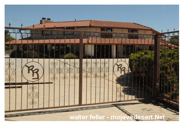
The Roy Rogers, Dale Evans home
Apple Valley was home to Roy Rogers and Dale Evans, whose museum was first established in Apple Valley (in 1967) before the museum was relocated to Victorville in 1976. Since 2003 the museum has been in Branson, Missouri, United States. Apple Valley is the final resting place for both Roy and Dale.
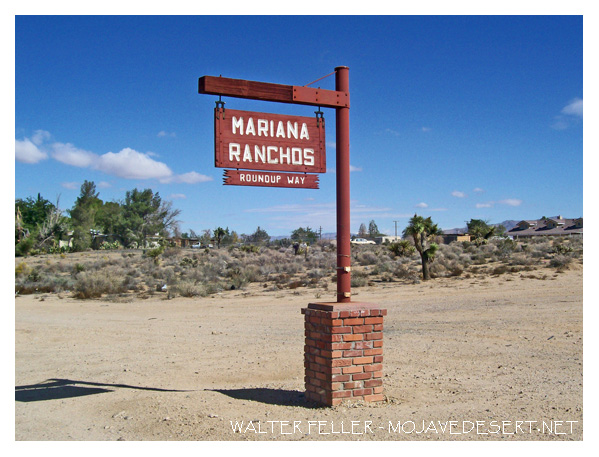 Marianna Ranchos
According to Mrs. Poates ...
"Later, when asked by her neighbor T. E. Dennison why she chose the name Apple Valley, Mrs. Poates told him that the original name was Appleton Valley. She then went on to say, "There were some apples being raised along the river in those days, but not by the ton, so I just cut it down and called it Apple Valley." Agreeing with her assessment of apple production, one fellow suggested sardonically that since there were a lot more pigs there than apple trees, the name "Squealerville" would be more appropriate.'
Ursula Poates' plan for the town of Apple on her property was never realized, but when the improvement association adopted the name of "Apple Valley" for their community, they preserved, if not her dream, at least the name she created for the valley."
~ R. Thompson - Elmore and Harriet Corwin and The Corwin Ranch
--
Apple Valley was also where most location filming was done for the Sky King TV series in the late 1950's.
Apple Valley Weather
Apple Valley Inn
Hilltop House
Dead Man's Point
Bell Mountain
Roy Rogers
Dale Evans
State Route 18
Apple Valley History
Romantic Heritage of
Victor Valley