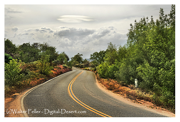
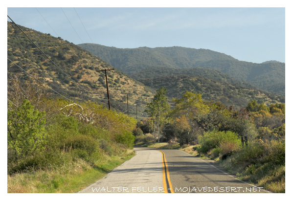
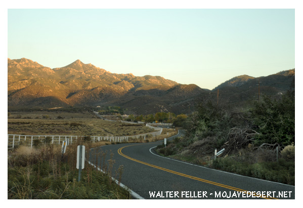
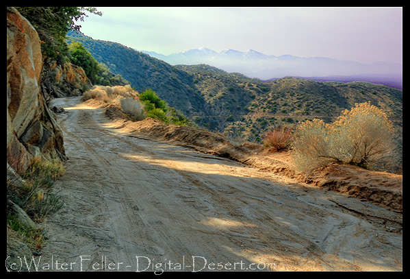
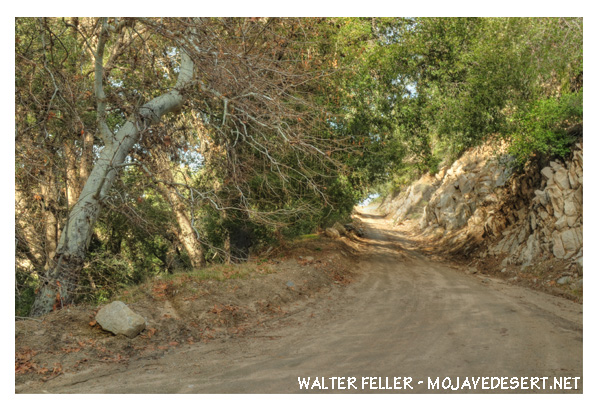
Highway 173
State Route 173 (Unpaved Portion locally known as the Toll Road) Permanent Closure San Bernardino Mountains - The California Department of Transportation (Caltrans) will permanently close an approximate five mile section of unpaved State Route 173 (SR-173) in early March 2011. The route is located west of Lake Arrowhead in the San Bernardino Mountains and is the only state highway in California in which the travel way is comprised of dirt.The route will be closed from west of the original closure at Willow Creek Road, downhill to east of Arrowhead Lake Road, just east of Hesperia. The decision to close the roadway was made by transportation officials late last year based on safety concerns for the motoring public. The roadway is narrow, unpaved, and in many areas does not have two travel lanes for the safe passage of opposing vehicles. (Caltrans)
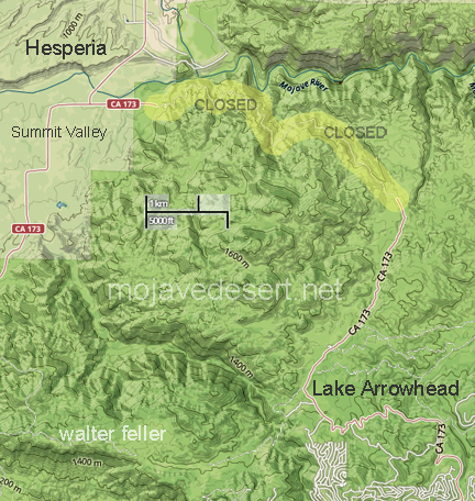
Map showing closed, unpaved section of highway 173
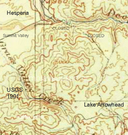
1901 USGS map showing original trail alignment between Mojave forks and Lake Arrowhead.