-.-
West Fork
WEST FORK (MOJAVE RIVER)
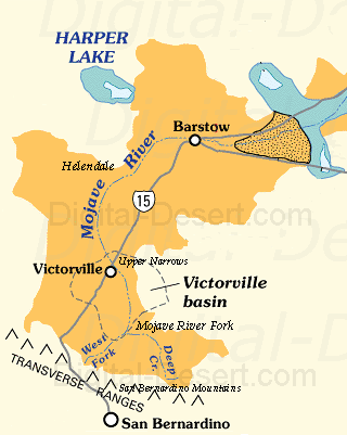
The West Fork is one of the two primary headwater branches of the Mojave River, originating in the western San Bernardino Mountains. It gathers runoff from multiple tributary streams before joining Deep Creek to form the main Mojave River.GEOGRAPHIC SETTING
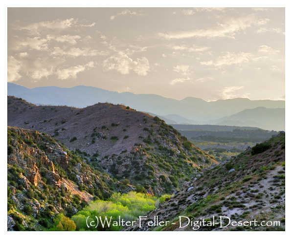
The West Fork drains the western portion of the San Bernardino Mountains, where precipitation and snowmelt feed a network of small streams and creeks. These tributaries converge into a more defined channel that flows northward out of the mountains. After leaving the higher elevations, the West Fork continues through Summit Valley, a broad transitional basin that directs flow toward the Mojave River confluence.HYDROLOGIC FUNCTION
The West Fork serves as a major contributor of water to the Mojave River system. Its flow is primarily seasonal, driven by winter storms and spring snowmelt, though flow conditions can vary significantly depending on climatic patterns.As tributaries combine, discharge increases and becomes more concentrated, allowing the stream to maintain a continuous channel as it approaches the confluence with Deep Creek.
SYSTEM ROLE
At the confluence, the West Fork merges with Deep Creek to form the Mojave River. Together, these two branches establish the primary flow that continues downstream through the desert basins.The West Fork represents the western drainage component of the Mojave River headwaters, complementing the eastern contribution from Deep Creek.
SIGNIFICANCE
The West Fork is essential to the formation of the Mojave River, providing a substantial portion of its initial flow. Its tributary network and passage through Summit Valley illustrate the transition from mountainous drainage to the integrated desert river system that defines the Mojave River basin.< Previous <> Next >