Digital-Desert : Mojave Desert Visit us on Facebook -- Desert Gazette -- Desert Link
Intro:: Nature:: Map:: Points of Interest:: Roads & Trails:: People & History:: Ghosts & Gold:: Communities:: BLOG:: Weather:: :?:: glossary

Desert Springs & Waterholes
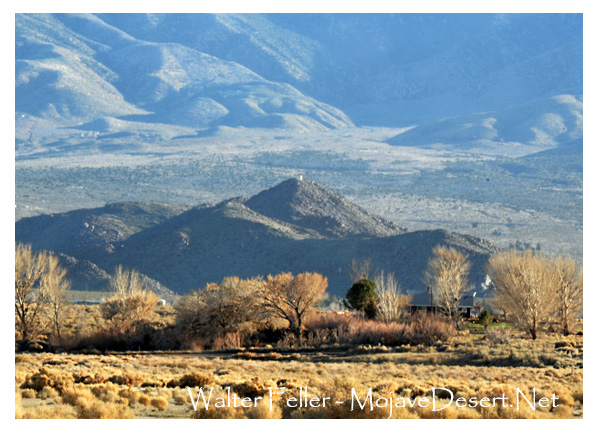
Lucerne Valley & Vicinity

Rabbit Springs

Photo of Rabbit Springs in Lucerne Valley
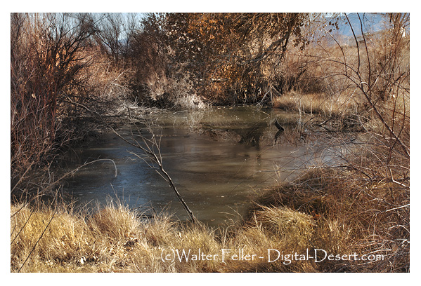
The setting of Rabbit Springs is a worn scarp south of the Lucerne playa where groundwater is forced up into a brushy pond.

A group of springs 1.25 miles northwest of the center of Lucerne Valley along a low faultline. The site had been used as a campsite by local Indians since prehistoric times, but all signs of that habitation are now gone. In 1873 L. D. Wilson, John E. McFee, W. S. Manning, W. P. Morrison, and a man named Holmes homesteaded near here. [1]

In the late 1800s and early 1900s there was a stage stop established near here. This stage would run from Victor (Victorville) eastward to Rabbit Springs and past Cushenbury and up to the Rose Mine and usually on over to Holcomb Valley and return. [2]
View of Rabbit Spring in Lucerne Valley from a distance


[1] Mojave Desert Dictionary - P. Schoffstall
[2] History of Victor Valley - L. Lyman
Intro:: Nature:: Map:: Points of Interest:: Roads & Trails:: People & History:: Ghosts & Gold:: Communities:: BLOG:: Weather:: :?:: glossary
Country Life Realty
Wrightwood, Ca.
Mountain Hardware
Wrightwood, Ca.
Canyon Cartography
DesertLink
Links to Desert Museums

Grizzly Cafe
Family Dining


Custom Search

AbeBooks
Abraxas Engineering
privacy
These items are historical in scope and are intended for educational purposes only; they are not meant as an aid for travel planning.
Copyright ©Walter Feller. 1995-2023 - All rights reserved.
14882