Salsberry Pass
Elevation - 3315 ft.
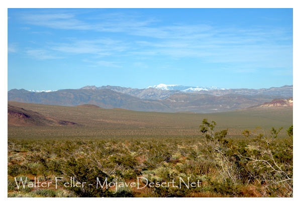
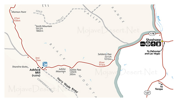
Salsberry Pass is a pretty mountain road in Death Valley National Park, California. It is about 3,315 feet (1,010 meters) high and is located on California State Route 178, which links Shoshone to the Furnace Creek area. This road provides a lovely drive through the southern part of Death Valley, offering travelers wide views of the desert, rough mountains, and often striking skies.
Long ago, Salsberry Pass saw its fair share of early prospectors and miners searching for ore. Nowadays, it is primarily known for its scenic beauty, offering a tranquil drive through a quiet and very pretty part of the park. The name comes from W.F. Salsberry, an early 20th-century prospector who worked there.
This is a paved road that is suitable for most vehicles. However, the immediate surroundings give testimony to Death Valley's arid and harsh condition. It is therefore always wise to carry enough water with one's self and be conscious of the weather.
