Stovepipe Wells, California
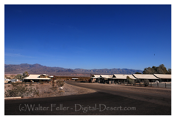
Stovepipe Wells (elevation, 10 feet above mean sea level) is a small way-station in the northern part of Death Valley, in unincorporated Inyo County, California. There is a motel with swimming pool, a gas station/general store, a gift shop, a ranger station, and a restaurant/bar, as well as a tent and RV campground.
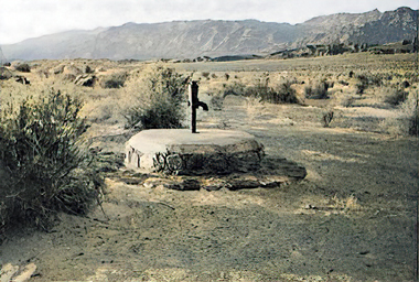
NO. 826 OLD STOVEPIPE WELLS - This waterhole, the only one in the sand dune area of Death Valley, was at the junction of the two Indian trails. During the bonanza days of Rhyolite and Skidoo, it was the only known water source on the cross-valley road. When sand obscured the spot, a length of stovepipe was inserted as a marker.
Location: Death Valley National Monument, from State Hwy 190 (P.M. 92.1) go N 2.8 mi on (unpaved) Sand Dunes Access Rd, 6.1 mi E of Stovepipe Wells
NO. 848 EICHBAUM TOLL ROAD - In 1926, H. W. Eichbaum obtained a franchise for a toll road from Darwin Falls to Stovepipe Wells, the first maintained road into Death Valley from the west. It changed the area's economic base from mining to tourism and brought about the creation of Death Valley National Monument seven years later.
Location: Death Valley National Park, 100 ft S of State Hwy 190 (P.M. 85.83), Stovepipe Wells
Mesquite Flats Sand Dunes
Tawny dunes smoothly rising nearly 100 feet from Mesquite Flat. Late afternoon light accentuates the ripples and patterns while morning is a good time to view tracks of nocturnal wildlife. Moonlight on the dunes can be magical, yet night explorers should be alert for sidewinder rattlesnakes during the warm season.Devil's Cornfield
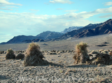
Clumps of Arrowweed appear as shocks of corn in a harvest field. The presence of ...Mosaic Canyon
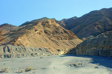
Polished marble walls and odd mosaic patterns of breccia make this small canyon a favorite. The twisting lower canyon is so narrow hikers must walk through it single-file. Some rock scrambling is required. The canyon opens up after ½ mile to reveal the heights of Tucki Mountain, but hikers can continue another 1½ miles. more...Salt Creek
This stream of salty water is the only home to a rare pupfish, Cyprinodon salinus. Springtime is best for viewing pupfish; in summer the lower stream dries up and in winter the fish are dormant. The wooden boardwalk loops ½ mile through stands of pickleweed and past pools reflecting badland hills. Wheelchair accessible.Titus Canyon
One of the largest and most scenically diverse canyons in the park. Within its lofty walls visitors can find multi-colored volcanic deposits, a ghost town, Indian petroglyphs, bighorn sheep, and deep, winding narrows. Titus Canyon is accessible to high-clearance vehicles via a one-way dirt road beginning outside the park. Standard vehicles may reach the canyon's mouth from the west. more...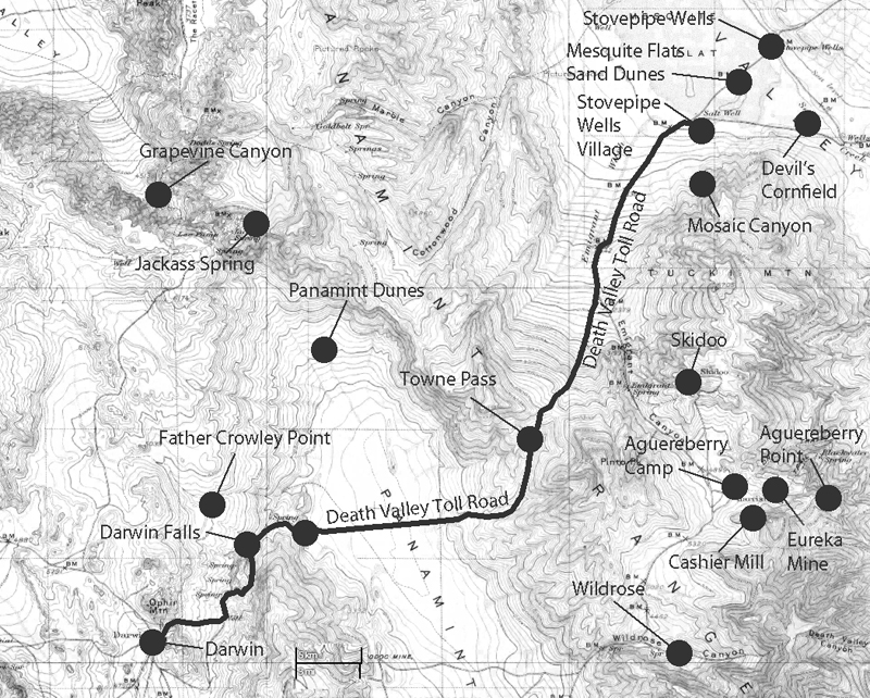
History of Stovepipe Wells
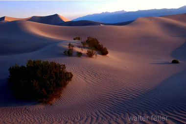
Mesquite Flats Sand Dunes
Devil's Cornfield
Mosaic Canyon