Communities - Lucerne Valley
Lucerne Valley, California
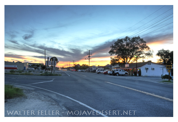
In the early 1880's. a miner trail up Cushenbury Canyon was improved to handle freight wagons with supplies for building the first dam at Big Bear Lake. A few years previously, Al Swarthout had started a cattle outfit named Box S, and when this was sold to James Goulding, it became a desert crossroads. Here, and at Rabbit Springs, a pioneer oasis nearby, shallow water climate and soil were found to be ideally suited for alfalfa. Later, both became place names and Lucerne was officially adopted, it being the European name for alfalfa.
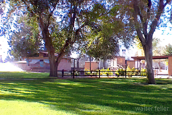
Pioneer Park

Lucerne Valley Museum
History Notes
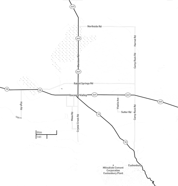
Lucerne Valley & Vicinity
Elevation - 2,953 ft (900 m)Population - Approx. 5,300
An unincorporated community located 21 miles east-southeast of Victorville.
In 1897 James E. "Dad" Goulding named his 160-acre homestead ranch Lucerne. Dad brought in the first artesian well in the valley and in 1901 he started the first school here.
In 1912 mail for the area was delivered to the home of Mrs. Koehly by stage three times a week. The post office was established on September 9, 1912.
Reference:
Mojave Desert Dictionary
Mojave River Valley Museum
Lucerne Valley Highways
State Route 247
State Route 18
Ecology
Geology
Native Americans
In addition to its farming, Lucerne Valley claims the title of being one of California's dude ranch capitals. It is the nearest community to the huge Permanente Cement Plant.
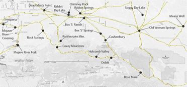
A saga of desert exploration and expansion.
By Burr Belden
Notable Resident:
Rene Belbenoit's life was one of incredible survival and hope. Born in Paris in 1899, he had a terrible childhood. Later, he endured a hellish time on Devil's Island, a notorious, cruel French prison. But even under terrible conditions, he never lost hope; on his fourth try, he escaped in 1935. His book, Dry Guillotine, exposed the atrocities committed by the prison system, earning him worldwide attention.
In 1951, Rene moved to Lucerne Valley in California, where he opened Rene's Ranch Store and became a well-respected member of the community. He became a U.S. citizen in 1956 and could finally live without fear. He spent his last years telling his incredible story before he died in 1959. Rene's life shows how strong people can be and how they can rebuild after tough times.