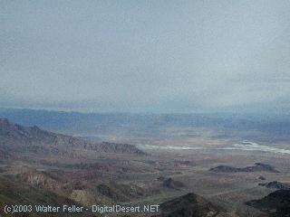
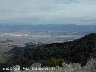
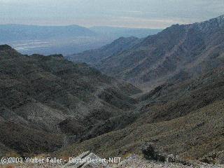
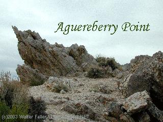
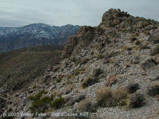
Aguereberry Point
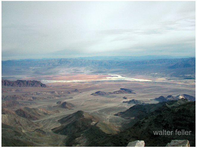
Elevation - 6,433 ft.
Looking across the valley it is easy to understand why Pete Aguereberry enjoyed sharing this spectacular view with others. From this point in the Panamint Mountains on the west side of Death Valley, Mount Charleston (11,900-foot high, 80 miles to the east in Nevada), the green oasis of Furnace Creek, and the white salt flats of Badwater Basin can be seen.
 -
- 
 -
- 
 -
- 
 -
- 
Ecology
Panamint Range - Southeastern Great BasinGeology
... you will travel over Quaternary gravels, past outcrops of the Mesozoic Skidoo granite and then ...-
Pete Aguereberry
Pete Aguereberry was born in 1874 into a Basque family in France. At an early age he read about the wonderful gold discoveries in California and begged his ...
Prospectors in the Mojave
Mining in Death Valley, Prospectors & Miners Pete Aguereberry · Shorty Harris · Jack Keane · Johnny Lang Sunrise on Clark Mountain across the Ivanpah Valley ...
Shorty Harris - Death Valley History
Old-time prospector Shorty Harris and greenhorn Pete Aguereberry found a promising looking ledge in the Panamint Mountains. Pete stayed behind and started . ...
Timeline of History of the Mojave Desert
1905 - Pete Aguereberry and Shorty Harris discover what turns out to be the Eureka mine. 1905-06 Tonopah & Tidewater railroad built from Ludlow to ...
Harrisburg (Aguereberry Camp)
Old-time prospector Shorty Harris and greenhorn Pete Aguereberry found a promising looking ledge in the Panamint Mountains. Pete stayed behind and started ...
Panamint Springs Area
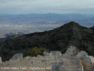
Aguereberry Point. 1000 feet higher than Dante's View, this viewpoint gives a ... Along the gravel road is the remains of Pete Aguereberry's camp and his ...
Desert Gold Mines
Pete Aguereberry nearly died trying to cross Death Valley in ... Wildrose Kilns. Wood was harvested locally, packed within the kilns and burned into . ...
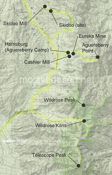
| Skidoo Mill | Skidoo (site) | Harrisburg |
| Eureka Mine | Cashier Mill | Aguereberry Point |
| Wildrose Kilns | Wildrose Peak | Telescope Peak |
Ecology: Panamint Range - 341Ff
Regional Geology: Northern Panamint Region