Digital-Desert : Mojave Desert >>> Route 66 <<<
From the Heartland to the Coast
Photography by
Walter Feller
== REAL DESERT ==
Desert Gazette

Visit us on
Facebook

features - ecology: wildlife - plants - geography: places - MAPS - roads & trails: route 66 - old west - 360 photos - misc.
ghost towns - gold mines - parks & public lands: wilderness - native culture - history - geology: natural features - glossary - comments
Mojave River - Mojave Narrows Regional Park
Victor Valley - West Mojave Desert

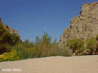
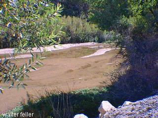
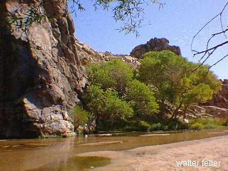
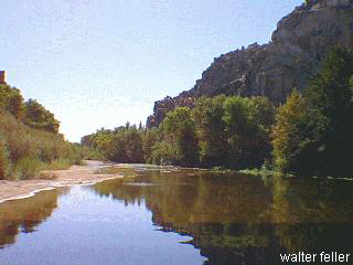
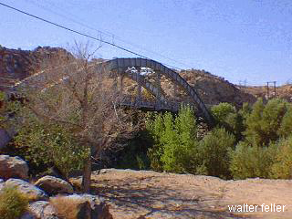
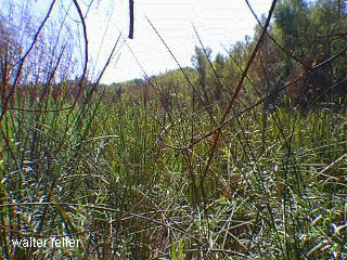
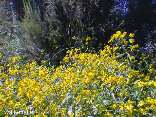
Upper Mojave River Narrows

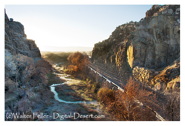
The Mojave River Narrows in between Victorville and Apple Valley is one of the rare places along the Mojave River where water is commonly seen above the ground. The water is produced because of the rock formations forcing the groundwater above the surface as it flows downstream. This continual supply of water has produced a stable desert riparian habitat.

Click the photo to view the slideshow
victorville apple valley california mojave river narrows desert feature photo virtual tour photo tour interactive map high desert community mojave desert mojave river mojave narrows
features - ecology: wildlife - plants - geography: places - MAPS - roads & trails: route 66 - old west - 360 photos - misc.
ghost towns - gold mines - parks & public lands: wilderness - native culture - history - geology: natural features - glossary - comments

Custom Search
Sponsors
The Great Outdoors Report
Snow and places to play in it - Wrightwood, CA
Ski Reports for SoCal
- Wrightwood - Big Bear -
Country Life Realty
Mountain Homes and Real Estate for Sale
Wrightwood & the Angeles National Forest


Digital-Desert
Abraxas Engineering
privacy
Copyright ©Walter Feller. All rights reserved.
Desert Gazette