Walker Pass
Elevation: 5,246 ft.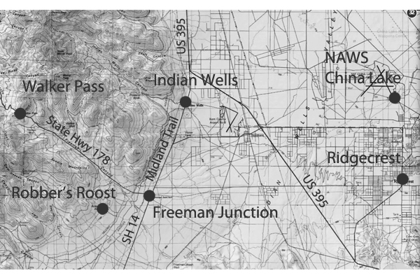
In 1834 the pass was used as a route through the Sierra by Joseph R. Walker, , an experienced mountain man, scout and a member of the Bonneville Expedition, who learned of it from Native Americans. Leading an immigrant wagon train Walker returned through the pass in 1843. In 1845 a military surveying expedition led by John C. Fremont used the pass. He suggested it be named after Joseph Walker.
Death Valley's Lost 49er's
The map showed a short cut across the desert to a place called Walker Pass. Everyone agreed that this would cut off 500 miles from their journey so most of ...
Pacific Crest Trail
The Southern California section ends where the trail crosses Highway 178 at Walker Pass (elev. 5246'). The mountains of this section are bounded by and ...
Highway 178
The western segment begins south of Trona, California, west through Ridgecrest, over the Walker Pass in the southern Sierra ... Walker Pass. Lake Isabella ...
A Trip to Death Valley
These men, Martin and Townsend, got through on Kern River, and I believe then Walker's Pass. They were both murdered by some Spaniards afterwards. ...
Mojave Desert - Joseph Reddford Walker
Returning east, Walker went down to the southern end of the San Joaquin Valley and traveled through what would become known as Walker's Pass, which, ...
Mojave Desert - John C. Fremont
Walker found Walker Basin and Walker Pass in 1834. John Fremont Explorer of the west. His scientific observations helped open up . ...
People in the Mojave Desert
Walker, Joseph Reddeford. Scout for General Fremont. Walker found Walker Basin and Walker Pass in 1834. Weaver, Pauline. He is known in Arizona history as a ...
American Explorers in the Mojave
Returning east, Walker went down to the southern end of the San Joaquin Valley and traveled through what would become known as Walker's Pass, which, ...
Chemehuevi, Mohave & Cahuilla Indians
From Walker's Pass it would be advisable to pursue the most direct and practicable line to the Pacific Ocean, which will probably lead to San Pedro, ...
Kawaiisu Indians and contact with other native people of the
...An important trail took them north to what is now Walker Pass, facilitating contact with the Koso; a branch of this trail led to Red Rock Canyon. ...
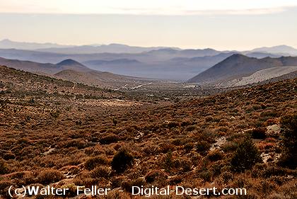
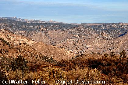
Looking east into the Mojave from the top of Walker Pass
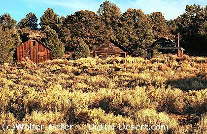
Buildings west of the pass
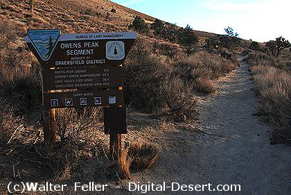 alt="The Pacific Crest Trail crossing at the top of the pass"
The Pacific Crest Trail crossing at the top of the pass
Looking west into the Sierra Nevada from the pass