West - Fish Ponds - Afton Canyon
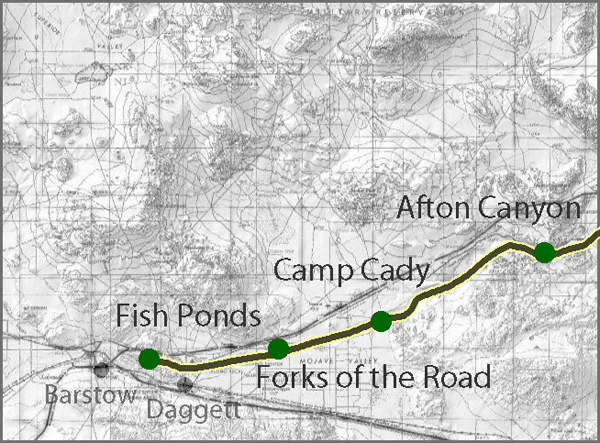
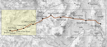
The western end of the Mojave Road follows the Mojave River, whose scattered reaches of surface water made travel possible across an otherwise dry country. This section extends from Fish Ponds eastward through the Fork in the Roads and Camp Cady to Afton Canyon.
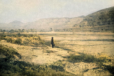
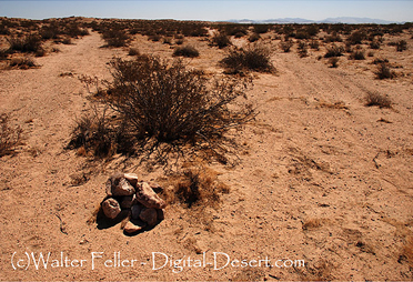
Fish Ponds was one of the places where the Mojave River rose to the surface. The ponds were named for the fish found there, and the water, grass, and shade made the area a useful stopping place for travelers and livestock. Farther east, at the Fork in the Roads, the Mojave Road divided from the Old Spanish Trail and later Mormon Road. The junction connected the river route toward Cajon Pass and Southern California with the roads leading toward Salt Lake and the Colorado River.
Camp Cady stood east of the fork on the Mojave River. Major James H. Carleton established the post in 1860 during the Bitter Spring Expedition. The Army used it, with interruptions, through the Civil War period and withdrew in 1871. Its position near the road and the nearby Salt Lake Trail gave the military a base from which to patrol a growing corridor of wagon, freight, mail, and emigrant travel. The original post included a mud redoubt; more substantial structures were built about a half-mile west in 1868.
Beyond Camp Cady, the route approaches Afton Canyon, where the Mojave River passes through a narrow break in the desert hills on its way toward Soda Lake. In and near the canyon, the river surfaces in places, supporting a riparian corridor of willows, cottonwoods, mesquite, marsh vegetation, and wildlife. Floods have always reshaped the channel and limited travel. Later railroad construction, grazing, invasive tamarisk, recreation, and restoration work also changed the canyon.
This part of the road shows the basic rule of desert travel: follow dependable water. Fish Ponds, the Fork in the Roads, Camp Cady, and Afton Canyon were linked not merely by a roadbed, but by water, forage, shelter, and access to the larger trail system.
Sources: California Department of Fish and Wildlife, Camp Cady; Afton Canyon history; National Park Service, Mojave Road.

Fish Ponds
Fork in the Roads
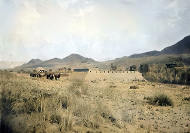
Camp Cady