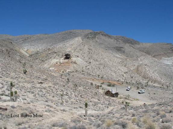
Lost Burro Mine
CM5. Location/Access:(36o 43.411’N, 117o 31.226’W). The Lost Burro Mine can be reached from Tea Kettle Junction on the Racetrack road by traveling 3.2 miles south through Lost Burro Gap. At the junction where one could go left to Whitecap Mountain, one can go 1.1 miles west (right) up to the Lost Burro Mine. The road is very rough, and requires high clearance and often four-wheel-drive. On our last visit (2006) the road was in pretty good shape.
Best Time: Any time, all year.
Geology: The cyanide dump deposits indicate that this was a gold mine. The one remaining building is rapidly falling into disrepair. Most of the tilted rock is the Lower Mississippian Lost Burro Formation. The Tin Mountain limestone lies above that and the Devonian Hidden Valley dolomite lies below. The Lost Burro Mine was operated in the early 1900’s when most of the gold mines the Death Valley area were active and it was again operated in the 1930’s up to World War II. Only a small amount of gold was extracted from near the contact zone between the limestone and injected Mesozoic plutonics.