Physical Resources
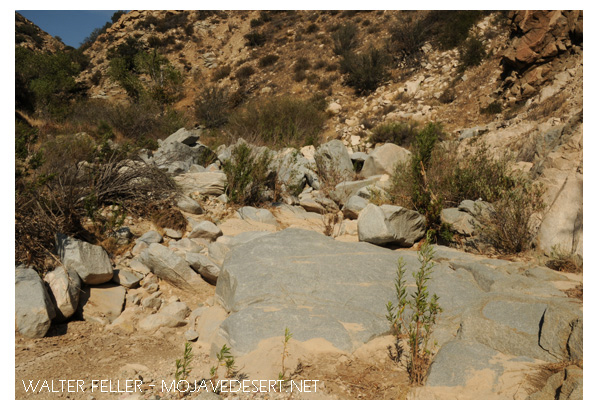
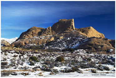
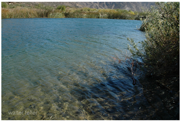
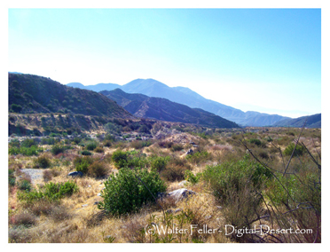
The climate for the analysis area varies from a warm temperate with marine influence (Mediterranean) to transitional high desert (Mojave) to a vertically differentiated complex mountain climate. Annual precipitation is as low as four inches of rain in the desert to as high as 10 to 25 inches of rain and snow at higher locations. The land has steep mountains with rounded summits and narrow canyons. Elevations range from 3,000 feet to 8,000 feet. The steeper reaches of slopes are barren and show evidence of fractured rock and landslides. Canyons have steep rocky sides that are covered with large boulders. The area is influenced by the San Andreas Fault zone, along with other faults, that result in unique geologic formations, such as those seen at Mormon Rocks. The presence of faulting has resulted in the movement and exposure of mineral resources that influence human activity. The fault trace separates the San Gabriel Mountains from the San Bernardino Mountains along Lone Pine Canyon creating the Cajon Pass. Lost Lake is one of the few naturally occurring, fault-formed perennial lakes along the rift zone in southern California. Lost Lake is the only sag pond on the Forest. The Cajon Pass is a critical evolutionary landscape linkage between the high desert and the costal basins and from the San Bernardino Mountains to the San Gabriel Mountains*.
*Adapted from; Travel Analysis Report
Cajon Place Off-Highway Vehicle Use
San Bernardino National Forest

Mormon Rocks

Lost Lake

Lone Pine Canyon - San Andreas Fault