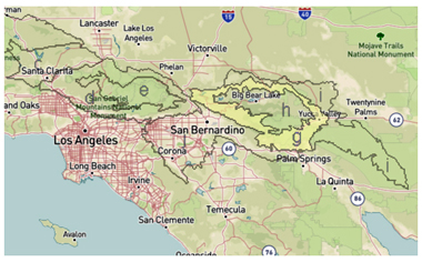
Subsection M262Bg
San Gorgonio Mountains
The San Gorgonio Mountains area in Big Bear, known as Subsection M262Bg, covers the lower, warmer parts of the San Bernardino Mountains. It's nestled between the Mojave Desert to the north and the southern branch of the San Andreas fault to the south. Stretching from Cajon Pass to the Pipes Canyon fault, it features faults like the Mission Creek and Banning faults along its southern edge. This region experiences a warm to hot, moderately damp climate with some influence from the Pacific on its south-southwest side.
Geology
The area is rich in history, with most rocks dating back to the Mesozoic era, mixed with even older Precambrian rocks. There's also a hint of marine sediments from the Paleozoic era and a smattering of younger, Pliocene sediments. The land's sharp rises and steep cliffs are due to various geological shifts, and you'll find a patchwork of sediments and alluvium along the way.Landscape and Soil
This mountainous region features steep slopes, narrow summits, and winding canyons, rising from around 1,500 to 6,000 feet. Soils are generally shallow and well-drained, lacking carbonates. They're influenced by the local climate, with thermic temperatures at lower elevations and mesic temperatures on higher, north-facing slopes. Soil moisture stays pretty dry with a xeric regime.Vegetation
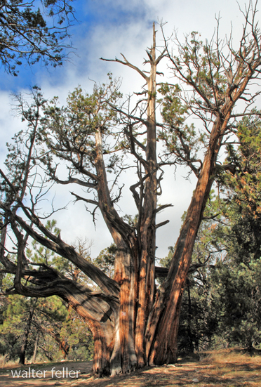
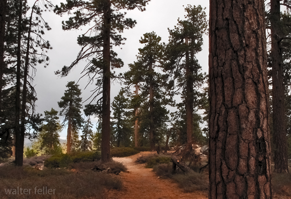
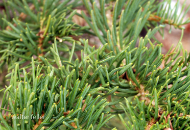
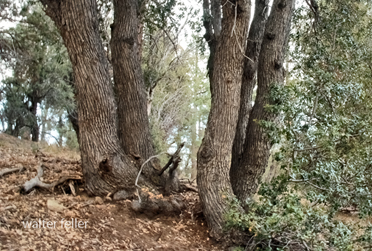
Plant life here is diverse, with shrublands and chaparral dominating the lower areas, while forests take over the higher ground. Lower elevations see chamise, live oak, and mixed chaparral, while higher elevations feature ponderosa pine and mixed conifer forests, with Jeffrey pines to the north.Vegetation by Type:
Climate and Water
Precipitation here ranges between 20-30 inches annually, with rain at lower elevations and snow higher up. Average temperatures span from about 45F to 60F, and the area generally enjoys around 200-250 freeze-free days. While streams flow fast when theyre full, most dry up by summer, and you wont find any natural lakes here.Archive page
Cajon Pass
igneous
Big Bear
Lake Arrowhead