Baker, California

Founded in 1908, Baker was named after R. C. Baker, president of the Tonopah and Tidewater Railroad. The community developed later as a service stop providing gasoline, food, and lodging along the lonely highway between Las Vegas and Barstow. Among the first to settle and promote Baker was "Dad" Fairbanks, a well-known Death Valley figure and founder of Shoshone, California.
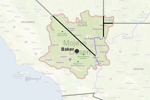
Baker is often called the Gateway to Death Valley, serving as a convenient stop for travelers heading into the Mojave National Preserve or north toward the park itself. The towns most famous landmark is the 134-foot thermometer, originally erected beside the Bun Boy restaurant to commemorate the 1913 Death Valley record of 134 degrees Fahrenheitstill the highest officially recorded temperature on Earth.
Worlds Tallest Thermometer
Historic Bun Boy Restaurant site
Soda Lake (dry lake)
Mojave National Preserve
Zzyzx Desert Studies Center
Interstate 15
State Route 127
Desert Fever: Baker Area
Area Ecology: Silurian Valley Devils Playground
The surrounding region includes the broad alluvial plains of Silurian Valley, where the Amargosa River enters from the north and the Mojave River from the south, forming part of the Devils Playgroundan isolated and strikingly barren stretch of desert landscape.
Baker Grade

Downtown Baker Photos
Frasher Photos
Baker attractions: 134-foot thermometer at the Bun Boy restaurant, erected in honor of the 1913 date when the Death Valley temperature reached 134 degrees
Tonopah and Tidewater Railroad
Mojave National Preserve
Zzyzx - Desert Studies Center
Soda Lake
Interstate 15
State Route 127
Desert Fever: Baker Area
Silurian Valley - Devils Playground
Weather in Baker, Ca.
"Dad" Fairbanks
 -
- 
World's tallest thermometer