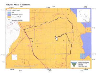
Malpais Mesa >> Map #66
Malpais Mesa Wilderness
SIZE: 32,360 acres
LOCATION: Inyo County; 15 miles northeast of Olancha, California and 10 miles northwest of Darwin, California
NATURAL RESOURCES: The landscape of this Wilderness takes on a variety of forms. Situated at the southern end of the Inyo Mountains, rugged valleys, deep canyons, sheer mountain sides and mesas can be found within a short distance of each other. To the east, gently sloping bajadas rise to meet the rugged volcanic lava flow of Malpais Mesa. Vegetation also takes on many forms: creosote, low desert shrubs and grasses on lower elevations; Joshua trees on the eastern slopes at mid elevations; and pinyon pines and juniper on the higher elevations. Wildlife within the wilderness includes mule deer and foraging and nesting habitat for golden eagles.
| GLOSSARY | > bajada, canyon, lava, malpais, mesa, volcanic |
ACCESS: Access to this wilderness is via State Highway 190, east of Olancha, and along the Santa Rosa Flat Road (S 111).