Route 10 - Big Pine Canyon
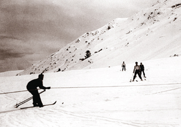
Witness the work of the ice age on this route into the glacier-carved High sierra. Here the powerful forces of nature easily Overwhelm the temporary touch of humankindas shown by a Mountain resort that has been erased three times by fire and ice.
What to expect: This road brings you well up into the mountains but with a gradual climb. The entire route is paved and snow is cleared in winter, but use extreme caution and 4WD when its icy there are some precipitous drop-offs.
Length: 10.6 miles one way.
Driving time: Half an hour one way, if the road is dry.
Getting there: From Big Pine at the traffic light in the center of town, turn from U.S. 395 west onto Crocker Street and you will have begun the route.
Along the route: Continue straight west on Crocker Street as it becomes Glacier Lodge Road. As the route leaves town it crosses a meadow bordered by a north-south line of trees, just where the land begins to rise toward the mountains. This is a fault scarp formed during the great Owens Valley earthquake of 1872, which had its epicenter at Lone Pine 45 miles to the south. It was reported that fissures also opened on the nearby valley floor, shooting columns of water more than 100 feet into the air. Seismic activity like this, and countless lesser quakes, are responsible for lifting the steep eastern face of the Sierra and readying it for the carving action of glaciers.
Beyond this youll see two lines of trees extending down from the mountains: these mark Big Pine Creek to your left and Baker Creek to your right. Capt. J.W. Davidson and his 1859 expedition used the area between the two creeks as a major campsite, calling it Dragoon Forks.
As the route approaches the canyon you will begin to encounter the tall ponderosa pines for which Big Pine was named. The town was established in 1869 and many of the pines were cut for lumber as the settlement grew. Ponderosa pines can be identified by their long needles in bundles of three, and large cones with prickly outwardturning spines.
Big Pine Canyon is a beautiful example of the work of Ice Age glaciers that cut the jagged Sierra skyline, pushing piles of loose rock as they slowly moved. The boulder-strewn sides of the canyon are called lateral moraines, moraine being French for rubble pile. Four miles into the route, the road climbs out of the canyon and up onto the top of one of these gigantic detritus heaps that the glaciers left behind.
As the climate warmed over the past few thousand years, the Sierras glaciers melted. Eight miles from the end of this route, via the North Fork (Big Pine Lakes) hiking trail, is a surviving remnant: Palisade Glacier, the southernmost permanent glacier in North America. The glacier now covers only one square mile, but during the Ice Age it extended down to 5,000 feet elevationalmost to the valley floor.
Only a rugged few will want to attempt to reach the glacier in a long, rigorous day hike. For somewhat less ambitious hikers, within three miles of the trailhead (and a 1500-foot elevation climb) is a stone cabin built by actor Lon Chaney. The trail continues toward the glacier along a series of lakes, each one differently colored by varying amounts of glacial silt.
And with no hike required at all, there isusuallyGlacier Lodge at the end of this route. What with fire and avalanche, this private resort on Inyo National Forest land is about to begin its fourth incarnation.
.. Source - BLM