Nature Trails
These are short, usually easy trails with signs along the way interpreting local features, formations, plants and wildlife. Arch Rock - .3 mile loopArch campground
Bajada - .25 mile loop
South of Cottonwood Springs, one-half mile from the southern park entrance.
Barker Dam - 1.1 mile loop
Barker Dam parking area.
Cap Rock - .4 mile loop
Cap Rock parking area at junction of Park Blvd. and Keys View Road.
Cholla Cactus Garden - .25 mile loop
20 miles north of Cottonwood Springs Visitor Center.
Cottonwood Spring - 1 mile
Cottonwood Spring parking area.
Hidden Valley - 1 mile loop
Hidden Valley picnic area.
Hi-View - 1.3 mile loop
Northwest of Black Rock Campground.
Indian Cove - .6 mile loop
West of Indian Cove Campground.
Keys View - .25 mile loop
Keys View
Skull Rock - .25 mile loop
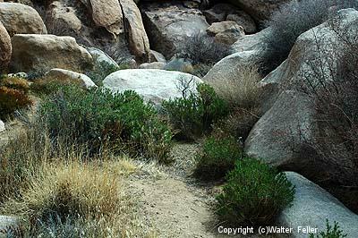
Microhabitat - Cap Rock
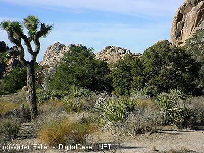
A relict population - Hidden Valley
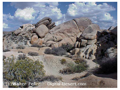
Disappearing soil - Arch Rock