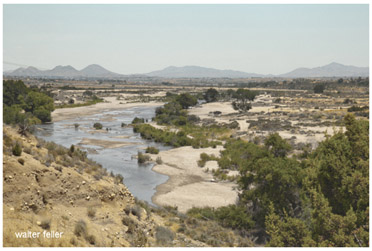
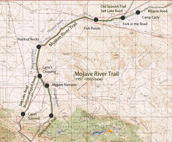
Mojave River Route
North Fork: Old Spanish Trail, Salt Lake RoadSouth Fork: Fort Mojave Road, Old Government Road
Padre Garces first reported on the south fork after his explorations of 1776. A map drawn from his information was made by Fr. Font in 1777, copied by the U.S. Bureau of Topographical Engineers in 1859, and reproduced in 1898 for Elliott Coues On the Trail of a Spanish Pioneer, (Vol. I, iv) . Jedediah Smith travelled the trail in 1826, but left no map. His information was transmitted in a letter to General William Clark, but although the map he drew later to illustrate his travels has been lost, the information was available for a brief period in the 1830s and 40s. The same data are found on a map located recently in the archives of the American Geographic Society, called the Smith (Fremont, Gibbs) map. The basic map is Fremont's 1844 map, with Smith's information pencilled on by Gibbs.