El Dorado Canon Cut-Off
Lewis Holes
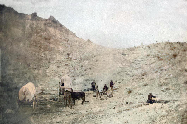
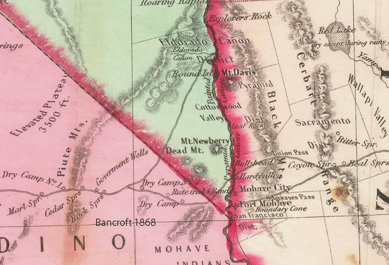
Not named, but shown on the Bancroft map of 1868 and the Rand-McNally Pioneer Atlas of 1876, the cut-off to the El Dorado Canon (Nevada) Mining District left the Government Road between Rock Spring and Pah-Ute Creek, heading northeast up the Lanfair Valley to Lewis Holes or Lewis Spring. This is the route taken by D'Heureuse on his 1863 trip to El Dorado Canyon (see photograph collections).
Cultural Resources of the California Desert,
1776 -1880 -- Historic Trails and Wagon Roads
Elizabeth von Till Warren & Ralph J. Roske
1981 cultural Russell L. Kaldenberg, Series Editor