Essex, Ca
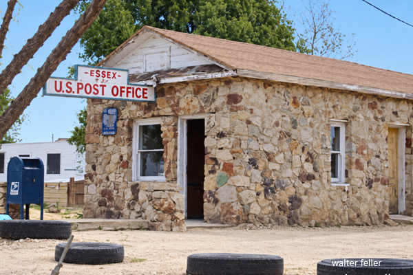
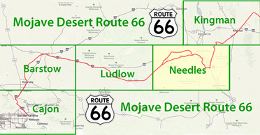
Essex is a small unincorporated community on historic Route 66 in eastern San Bernardino County. It lies south of Interstate 40 in the Mojave Desert, along a transportation corridor shaped by the railroad, the National Old Trails Road, and automobile travel.
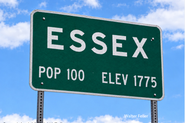
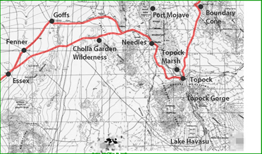
Essex was a station on the railroad line that later became part of the Atchison, Topeka and Santa Fe Railway. Its name fits the alphabetical sequence of stations extending eastward across the desert: Amboy, Bagdad, Cadiz, Danby, Essex, Fenner, and Goffs. The railroad established the transportation corridor, while the highway brought customers to roadside businesses.
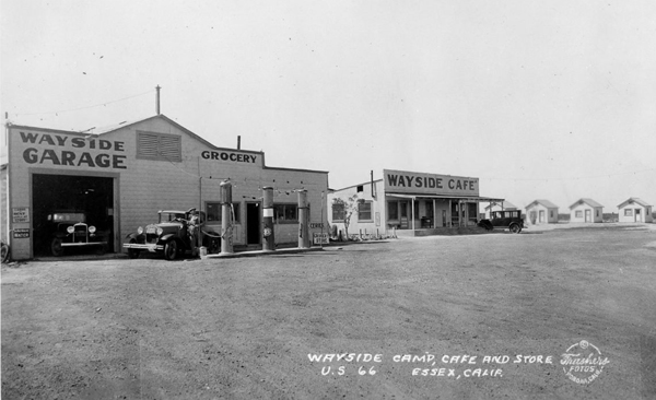
The National Old Trails Road passed through Essex during the early automobile era. In 1926, this road became part of U.S. Route 66. Motorists crossing the eastern Mojave needed fuel, water, food, and repairs, and Essex developed businesses to meet those needs. Bell's Towing, the Wayside Cafe, a tire shop, and the post office served travelers and local residents.
A local story attributes the roadside settlement's beginnings to a motorist who suffered a flat tire and found no repair service nearby. The account survives as part of Essex's history, although it should be treated as a founding story rather than a documented explanation of the town's origin.
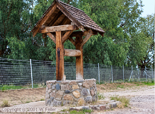
One of Essex's best-known services was free water. A well installed by the Automobile Club of Southern California supplied travelers crossing this dry stretch of highway. Water for people and overheated automobiles made the stop useful even to motorists who needed nothing else.
Interstate 40 changed the community's economy. Completion of the freeway through the desert in 1973 diverted through traffic from Route 66. Essex's roadside businesses lost the passing customers on whom they depended, contributing to closures and abandonment.
The remains of the Wayside Cafe and service station, along with the old water well, mark Essex's years as a highway stop. These features connect the community's history to the everyday needs of travelers crossing the Mojave Desert.
References
- California Historic Route 66 Association. "Essex." Railroad connection, free-water well, and Interstate 40 bypass.
- Whittall, Austin. "Essex, Route 66 California." TheRoute-66.com. Updated July 9, 2025. Railroad station names, highway development, and roadside features.
- National Park Service. From Neglected Space to Protected Place: An Administrative History of Mojave National Preserve. Chapter 2, "Prelude to Systematic Federal Management." Regional transportation history and completion of Interstate 40 through the desert in 1973.
- National Park Service. "Route 66 Overview." Establishment of Route 66 in 1926 and development of businesses serving motorists.
- Wikipedia contributors. "Essex, California." Information on local businesses and the flat-tire founding story. The founding story remains unverified.
San Bernardino County, California, USA. Its history is closely tied to the development and expansion of the railroad and the mining activities in the region. Atchison, Topeka and Santa Fe Railway Providence Mountains prospectors NOTR