|
|
Dry Lakes -
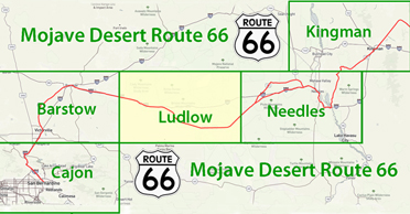
Route 66
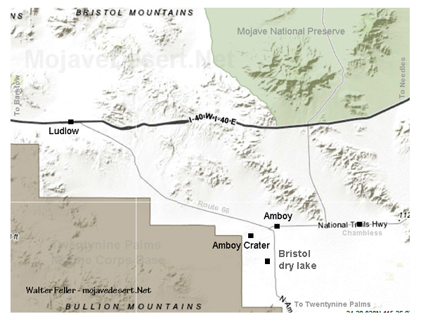
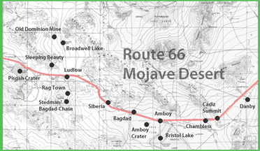
Bristol Dry Lake
click photo for Bristol Lake gallery
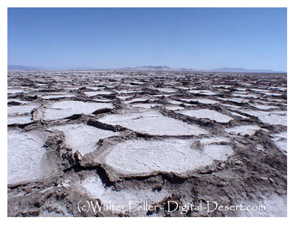 On the floor of this beautiful and broad valley lies Bristol dry
lake. Sandy and dry toward the south, broken and
spotted with
lava fields
at the north end.
Historic Route 66
stretches straight along the base of the foothills.
Amboy crater
and the
rest-stop towns of
Amboy
and
Chambles
provide momentary diversions for those
traveling straight through. Chloride extraction takes place along the
highway running south across the lake to
Twentynine Palms
and
Joshua Tree National Park. Far off and to the east one can see the green trace of the
vineyards in the Cadiz.
On the floor of this beautiful and broad valley lies Bristol dry
lake. Sandy and dry toward the south, broken and
spotted with
lava fields
at the north end.
Historic Route 66
stretches straight along the base of the foothills.
Amboy crater
and the
rest-stop towns of
Amboy
and
Chambles
provide momentary diversions for those
traveling straight through. Chloride extraction takes place along the
highway running south across the lake to
Twentynine Palms
and
Joshua Tree National Park. Far off and to the east one can see the green trace of the
vineyards in the Cadiz.
|
Bristol Lake photo gallery
Also see:
Dry Lake/Playa Formation
A playa is a dry, vegetation-free, flat area at the lowest part of an undrained desert basin. ...
Desert Succulent Shrub Wildlife Habitats
Hot, dry summers and cool to cold, moist winters are characteristic of Desert Succulent Shrub habitats. Highest July ... Bullion Mountains - Bristol Lake (322ao ) ...
Desert Ecosystem
Patient perennials ply an alternate strategy: Joshua trees flourish in moist periods , then bide their time in long dry periods. ... Bullion Mountains - Bristol Lake ...
Changing Climates and Ancient Lakes Mojave Desert
For instance, excavations into playas (dry lake beds) have yielded fossil ... the basins of Bristol Lake, Cadiz Lake, and Danby Lake before possibly flowing into ...
Cleghorn Lakes Wilderness
NATURAL RESOURCES: Named for the dry lakes found near its center, this wilderness contains vastly ... Ecosubsection : Bullion Mountains - Bristol Lake ...
Amboy Crater
The crater contains two lava dams behind which has formed small lava lakes. ... covered with light colored clay, creating the impression of miniature "dry lakes. ... Amboy Crater is located in the Bristol Valley, midway between Barstow and ...
|
