Amargosa River
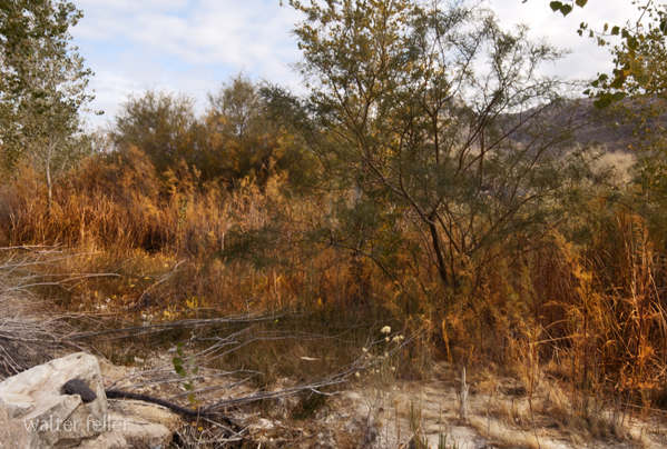
Amargosa River at Beatty, Nv. In there, with the bugs and frogs and stuff.
Unveiling the Mysteries of Amargosa River Geology
The Amargosa River, a hidden gem in the heart of the Mojave Desert, holds a fascinating geological history that dates back millions of years. This article aims to shed light on the unique geological features that have shaped the Amargosa River and its surrounding landscape. Join us on a journey through time as we delve into the secrets of this remarkable river's geology.Ancient Origins:
During the Miocene epoch, the Amargosa River's geology story began over 40 million years ago. The region experienced significant volcanic activity during this time, forming the Funeral Mountains and the Amargosa Chaos. Volcanic eruptions and subsequent lava flows created today's diverse geological features.
The Power of Water:
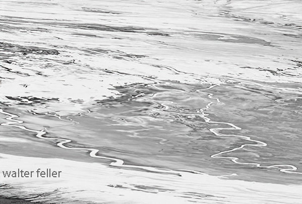
Fast forward to the Pleistocene era, approximately 2.5 million years ago. The Amargosa River formed during this period due to tectonic activity and climatic changes. As the climate shifted from wet to dry, intermittent streams carved their way through the desert, forming the river we know today. These periodic water torrents gradually eroded the surrounding rocks, exposing layers of geological history.
The Amargosa River Valley:
The Amargosa River Valley, carved by the force of water over time, showcases a stunning array of geological formations. From towering cliffs to winding canyons, this valley offers a glimpse into the geological processes that have shaped the landscape. The layers of sedimentary rocks, such as sandstone and limestone, provide a record of past environments and ancient ecosystems that once thrived in this arid region.
The Amargosa River Basin:
The Amargosa River Basin, encompassing approximately 3,000 square miles of vast area, is a geological treasure trove. The basin is home to numerous hot springs, wetlands, and salt flats, each with its own unique geological story. These features are a testament to the dynamic nature of the Amargosa River and the ongoing geological processes that continue to shape the landscape.
Biodiversity and Geology:
The intricate relationship between geology and biodiversity is evident along the Amargosa River. The river and its surrounding habitats support a remarkable variety of plant and animal species that have adapted to the harsh desert environment. The geological features, such as the presence of groundwater and the unique soil composition, play a vital role in creating these diverse ecosystems.
Conclusion:
Exploring the geology of the Amargosa River unveils a captivating tale of volcanic activity, erosion, and the enduring power of water. As we immerse ourselves in the rich geological history of this region, we gain a deeper appreciation for the natural wonders that exist within the Mojave Desert. The Amargosa River stands as a testament to the ever-evolving forces that shape our planet and the remarkable beauty that arises from it.
Amargosa Desert
Amargosa River Photos
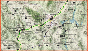
A virtual photo tour of the Amargosa River starting in Beatty and continuing downstream to Badwater in Death Valley.Amargosa River Natural Area
The Amargosa River Natural Area is located at the south end of Tecopa Valley, and occupies the ...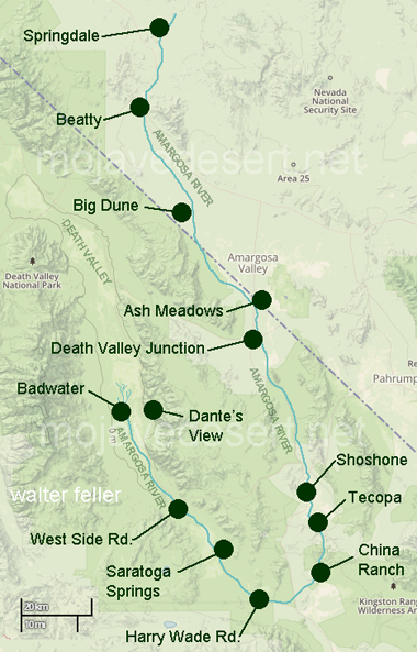
The Amargosa River originates in the mountains surrounding Beatty, Nevada, flows through the Amargosa Desert region, and terminates at Badwater in Death Valley National Park. The Amargosa is about 125 miles long, but after winding around to its end, the river has only traveled about 50 miles to the southwest of its genesis. Most of the river course to Badwater is underground, but about seventeen miles of surface flow exist in the areas of Shoshone, Tecopa, and the Amargosa Canyon. This perennial surface flow has created lush riparian and wetland habitats that support endemic and sensitive species. The Amargosa Canyon contains some of the lusher cottonwood-willow gallery forest in the Mojave Desert.
Source:BLM