Surface Features
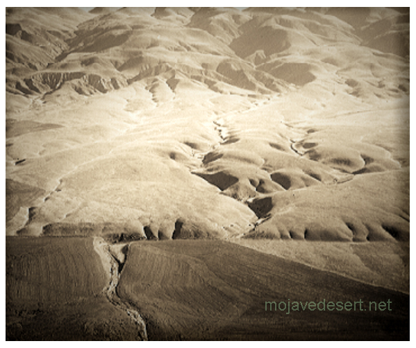
Over much of its length, a linear trough reveals the presence of the San Andreas fault; from the air, the linear arrangement of lakes, bays, and valleys in this trough is striking. Viewed from the ground, however, the features are more subtle. For example, many people driving near Crystal Springs Reservoir, near San Francisco, or along Tomales Bay, or through Cajon or Tejon Passes may not realize that they are within the San Andreas fault zone. On the ground, the fault can be recognized by carefully inspecting the landscape. The fault zone is marked by distinctive landforms that include long straight escarpments, narrow ridges, and small undrained ponds formed by the settling of small blocks within the zone. Many stream channels characteristically jog sharply to the right where they cross the fault.
prev - next