Teutonia Peak
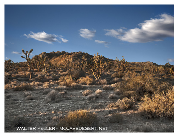
5,755 foot peak atop Cima Dome in Mojave National Preserve
The name "Teutons" is believed to have originated from the Proto-Germanic word *Ţeudanoz, which means "people" or "tribe." This term was used to describe the Teutonic tribes, a group of early Germanic peoples. The Teutons, along with the Cimbri and Ambrones, were known for their migration and conflicts with the Roman Republic in the late 2nd century BCE.
The term "Teutonic" has since evolved to refer more broadly to things related to Germanic peoples or their languages, culture, and history.
 by Heinrich Leutemann.jpg)
"The Women of the Teutones Defend the Wagon Fort" (1882) by Heinrich Leutemann
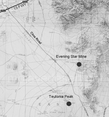

Cima Dome/Teutonia Peak (right)
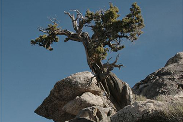
Juniper on Teutonia Peak
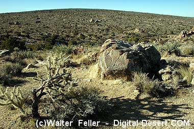
View of Cima Dome from near summit of Teutonia Peak