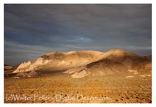
Digital-Desert : Mojave Desert |
Visit us on Facebook ~ ~ ~ DESERT GAZETTE |
ecology: wildlife - plants - geography: regions - places - MAPS - roads & trails: route 66 - old west - communities - weather - glossary |
ghost towns & gold mines - parks & public lands: wilderness - native culture - history - military - geology: natural features - comments |
|
Hiking Trails
Ryan Mountain![]() Hiking info:3 miles (round trip) - hiking time: 2-3 hoursStarting point > Ryan Mountain parking area or Sheep Pass Campground. Description: Excellent views of Lost Horse, Queen and Pleasent Valleys. Summit elevation - 5,461 feet. Trailhead elevation - 4,395 feet. Difficulty = Strenuous. |
ecology: wildlife - plants - geography: regions - places - MAPS - roads & trails: route 66 - old west - communities - weather - glossary |
ghost towns & gold mines - parks & public lands: wilderness - native culture - history - military - geology: natural features - comments |
Country Life Realty Wrightwood, Ca. |
Mountain Hardware Wrightwood, Ca. |
Canyon Cartography |
Abraxas Engineering privacy |
Copyright ©Walter Feller. All rights reserved. |