-.-
Trailview Overlook
 -
- 
 -
- 
 -
- 
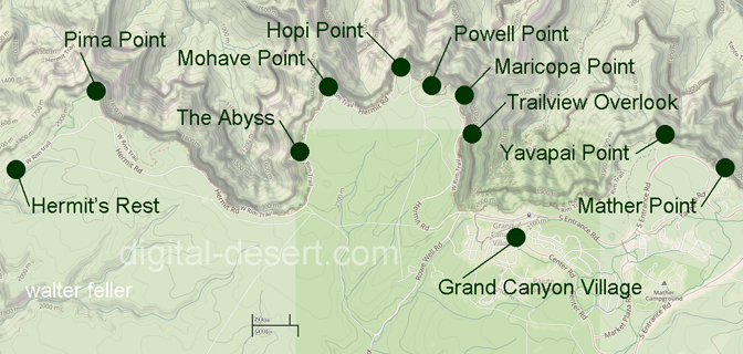
The overlook is about 1.3 miles west of the village. Most of the year, Hermit Road is closed to private vehicles, and visitors reach it on the Hermits Rest shuttle, the Red Route. A short paved walk leads from the stop to the rim.
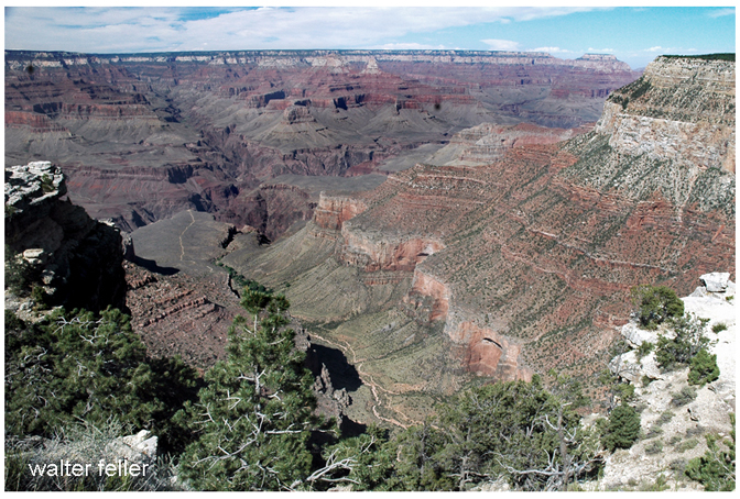
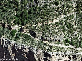
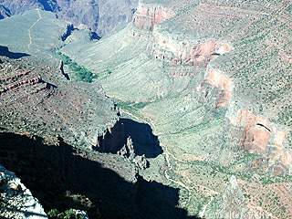
Below, the Bright Angel Trail drops from the pale Kaibab Limestone into the older rocks of the canyon. Its retaining walls, cut ledges, and sharp turns show clearly from above. They were made by hard labor, by men and animals working against the cliff and the weather. In clear light, Havasupai Gardens may be seen far below, a small green place among the dark inner walls.
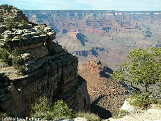
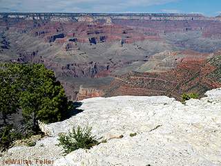
Trailview makes the distance plain. The trail is not a line on a map; it is a real path, falling quickly into a country that seems to swallow hikers and mule trains. A person at the rim may feel secure enough, but from this point he can see how little room there is between the high country and the deep canyon.
Morning light reaches into the upper canyon and shows the trail plainly. Late in the day, the western walls grow warm with color while the deeper places turn dark. In winter, snow catches on the switchbacks and stone walls, marking the trail against the darker rock.
The overlook came with the organized tourism of the late nineteenth and early twentieth centuries. When railroads brought visitors to the South Rim, the Bright Angel Trail became one of the principal ways down, used by tourists, guides, mule trains, and concession workers. Long before that, people of the canyon country had traveled through this land by older routes and connections.
Maricopa Point, Hopi Point, Mohave Point, and The Abyss are nearby along Hermit Road. Trailview is different. It does not merely show the canyon's breadth. It shows the way into it.