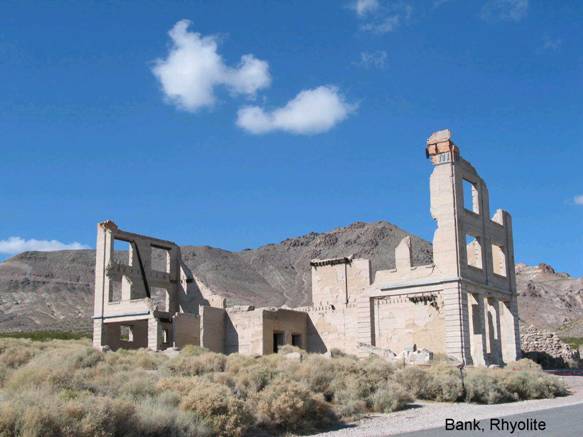
Rhyolite
GF3. Location/Access:(36o 54.051N, 116o 49.749W) The ghost town of Rhyolite is easy to find. From the east boundary of Death Valley National Park, travel 4.7 miles on Nevada Highway 374, turn left and continue to 1.5 miles to the center of town. Rhyolite is on all maps and is clearly marked.
Best Time: Anytime, all year.
Geology: Rhyolite, named for the Miocene/Pliocene volcanic rock that dominates the surrounding hills, was a booming mining camp in the early 1900s. Gold was discovered in 1904 and active mining continued until just past World War I. Total production in this early period approached $3,000,000. The large abandoned mine at the junction operated from the late1980s into the 1990s. The heap leaching pile across the highway has only been inactive for a few years. The gold in these hills occurs in fissures and veins associated with calcite, quartz and pyrite in rhyolite tuff related to steep normal faults (Cornwall, 1972). A small amount of silver was found with the gold.
=-=