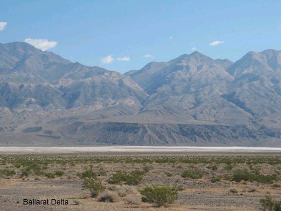
Ballarat Delta
BA1. Location/Access:(36o 02.818’N, 117o 13.530’W) These GPS coordinates are in downtown Ballarat. The delta is the huge mesa just south and slightly east of town. The road to Ballarat turns east of the Trona Road 22.7 miles north of Trona and 22.9 miles south of CA 190. The road into town is 3.4 miles from the paved highway.
Best Time: Afternoon, all year.
Geology: This mesa is actually a Pleistocene delta built into the lake that filled the Panamint Valley during the last ice ages. Panamint Valley was alternately covered by lakes, marshlands and playas during the Pleistocene. The last lake, which may have been 650 feet deep probably persisted until about 16,000 years ago and was followed by wet marshlands which lasted until about 10,500 years ago when the basin became a playa as it remains today (Jayko, et. al, 2008).