Digital-Desert : Mojave Desert |
Intro:: Nature:: Map:: Parks:: Points of Interest:: Ghosts & Gold:: Communities:: Roads & Trails:: People & History:: Weather:: :?:: glossary |
|
Death Valley Photos -
Stovepipe Wells Area
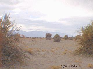
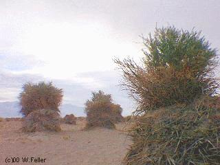
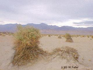
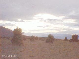
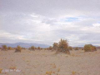
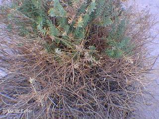
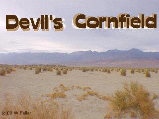
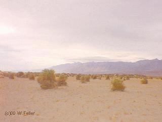
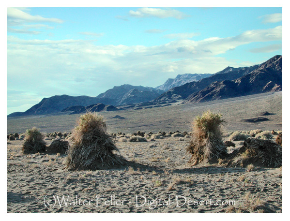
Devil's CornfieldClumps of salt withstanding Arrowweed appear as shocks of corn in a harvest field. The presence of the plant growing on the sandy mounds indicate a shallow water table (only 5 feet).- - - - |
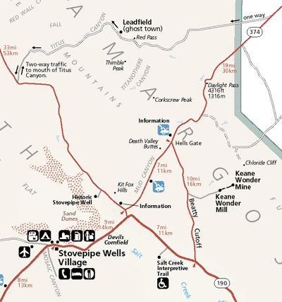
Clickable Stovepipe Wells area map Click here to zoom out to the Death Valley Map |
|
Intro:: Nature:: Map:: Parks:: Points of Interest:: Ghosts & Gold:: Communities:: Roads & Trails:: People & History:: Weather:: :?:: glossary |
Country Life Realty Wrightwood, Ca. |
Mountain Hardware Wrightwood, Ca. |
Canyon Cartography |
DesertLink Links to Desert Museums |
Grizzly Cafe Family Dining |
Abraxas Engineering privacy |
These items are historical in scope and are intended for educational purposes only; they are not meant as an aid for travel planning. Copyright ©Walter Feller. 1995-2024 - All rights reserved. |