Lava Tube
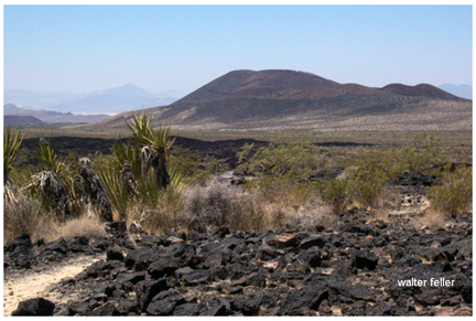
Not all lava is the same. Very thick, gooey rhyolitic lava doesn't flow very far. The runny basaltic sort that characterizes some of the lava flows of Mojave National Preserve, however, spreads out as smoothly as hot maple syrup. It flowed from the sides of the cones or pooled near their bases.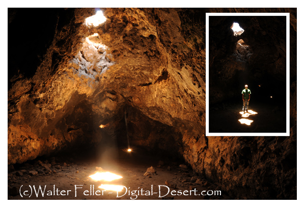
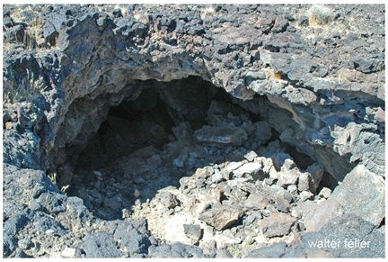
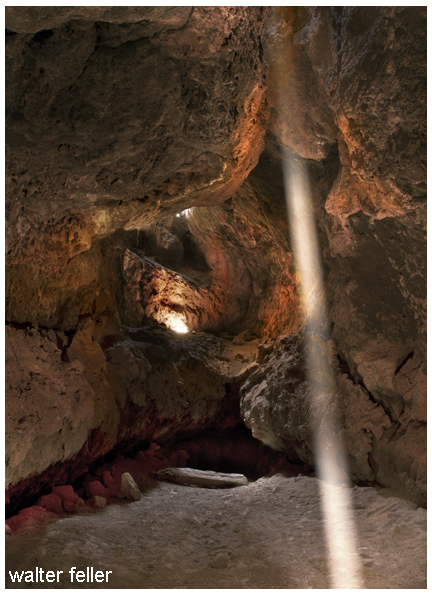
As the lava streamed out across the land, it slowly began to cool. Often, the top of a flow would cool while liquid lava continued moving underneath, creating a tunnel. When the eruption ended, the flowing lava in the tunnel either cooled in place or emptied out the tunnel's end, leaving a hollow lava tube.
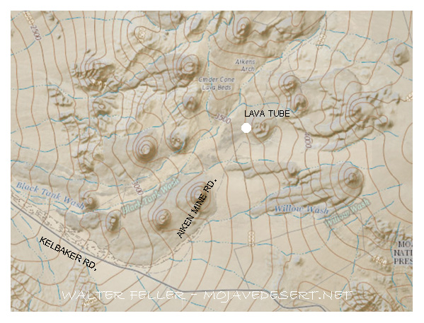
A lava tube is accessible via a 5-mile drive from Kelbaker Road. Climbing through a collapsed hole in the tube's roof, visitors have a rare opportunity to view this river of rock from the lava's perspective.
- NPS -
