Waucoba Spring
SV1. Location/Access:(37o 00.168’N, 117o 56.554’W). These coordinates mark the junction of the barricaded short road to Waucoba Spring on the main Saline Valley road where it exits the canyon coming from the north. Access is definitely best from the north. From Big Pine and US 395, head east on CA 168 to the Eureka-Death Valley Road (which is well marked) and continue up the hill until you reach the Saline Valley road. Head south, downhill for about 7 miles and you will reach the National Park boundary. An additional mile will bring you to an abandoned mine camp and then the road climbs over a summit and then down to the mouth of the canyon and the Waucoba Spring area. A vehicle with moderate clearance is adequate if coming from the north. Coming from the south is a bit rougher and high clearance would be better.
Best Time: Any time in fall or spring. Summer can be hot and the road may be blocked by snow in winter.
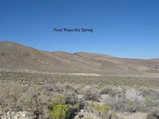
Geology: This is the type locality of the Waucoban or lower Cambrian for North America. The photo was taken about 0.4 miles further south along the main road from the location cited above. It is looking east at the various members of the lower Cambrian Poleta Formation. The ridge to the far left is part of the Campito formation, the lowest formation of the Cambrian as mapped by Nelson (1971). This site is most famous for its preservation of the fossil record of the early Cambrian. This area preserves the Cambrian bloom wherein the sparse simple fossils of the Precambrian are relatively rapidly replaced by the complex variety of fossils from the lower Cambrian. Here occur archeocyatha, brachiopods, trilobites and many others (Seiple, 1984). There is a lot of data available on this site on the internet. The best place to see these rocks is on the east side of the road from the coordinates above to about a half-mile south. Further south, along the west side of the road, the section is folded and faulted but the rocks themselves are less covered by vegetation. Fossils may NOT be removed from the national park.