Cottonwood Canyon/Mouth
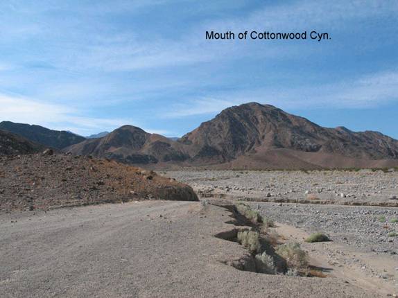
NP4a. Location/Access:(36o 38.552N; 117o 16.217W) Cottonwood Canyon is accessed by a dirt road that starts by the airstrip at Stovepipe Wells. The first 8 miles or so are very sandy as the road travels over the western margin of the Stovepipe Wells dune field. After this point, the road ascends a gentle alluvial fan and it becomes very rough. Because of this, four-wheel-drive is recommended for this route. At 8.4 miles from the store at Stovepipe Wells, you will arrive at the mouth of the canyon where there is a large flat area used for camping and a steep drop-off into the main wash of the canyon.
Best Time: Afternoon in the cool part of the year. As this is a more remote area with poor roads and a low elevation, it is best to avoid it in summer.
Geology: In the late afternoon, there are great views towards the Grapevine Mountains, Stovepipe Wells dune field and Tucki Mountain. The lighting would probably be better if you stopped here on your way out of the canyon after visiting the other sites in the canyon. The folding of the sedimentary rocks at the south end of the Grapevine Mountains is more obvious from here than along the mountain front or even in much of Titus Canyon (Site GF2). The dunes, although somewhat distant, are beautiful nonetheless. Looking towards Tucki Mountain, the general trace of the Tucki Mountain detachment is visible on the lower right flank where the domal shape gives way to outcrops of the Nova Formation which are younger, and have different color and topography. The fault trends away from you and upwards away from the dome shape of the mountain. Site NP4a is where Cottonwood Canyon actually begins. The limestone layers exposed here are mid- to late Paleozoic. This is typical of most of the rocks in the Cottonwood Mountains, whereas in the mountain ranges on the east side of Death Valley, and to a lesser extent, the sedimentary rocks in the Panamints are late Precambrian and lower Paleozoic. As you travel up the canyon, you will also find (and drive over and around) a great many granitic boulders. These have washed down from the Hunter Mountain pluton (Site CM4) which is mostly of Jurassic age.
=-=