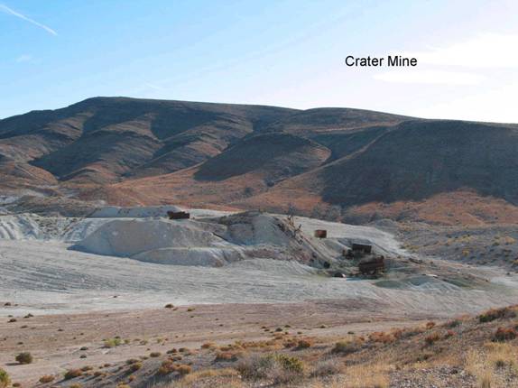
Crater Mine
FN2. Location/Access:(37o 12.704N; 117o 41.450W) The Crater Mine is directly on the Big Pine Road 27.9 miles north of the paved Ubehebe Road, 12.9 miles north of Big Sand Spring and 7.3 miles north of Crankshaft Junction. The mine itself lies within a large in-holding almost completely surrounded by national park lands. The GPS coordinates are at the top of the hill along the main road just south of the beginning (or end) of the pavement.
Best Time: Any time, all year.
Geology: The Crater Mine has been mined for sulfur although significant amounts of gypsum and sinter are also present. The source of the sulfur is from hydrothermal alteration related to the vapor phase of a hot spring system feeding up through limestones and dolomites. Most of the bedrock in the immediate area is the Cambrian Bonanza King formation to the east and south with Cambrian Zabriskie quartzite to the west and Mississippian Perdido formation and Rest Spring Shale in fault contact in between. These relationships are dramatic as you continue north down the fault controlled Hanging Rock Canyon. There is a pull-out at 1.6 miles north of the summit. The outcrops are nearly all related to fault zones (Taylor and Joseph, 1993). This area may have been mineralized twice: Once during the Cretaceous intrusive episode and then again in the Neogene extensional time frame. See page 34 of Taylor and Joseph (1993) for a good geologic cartoon of the geology of the site. This reference also has a good provisional geologic map.
=-=