ss
Tour - Next/ Previous/ Map
|
Eclipse Art Gallery |
|
Mojave River Valley Museum |
|
Daggett Map & History Tour
< Daggett, CA
- Barstow
- West Mojave |
Desert Gazette |
| Intro:: Nature:: Map:: Points of Interest:: Roads & Trails:: People & History:: Ghosts & Gold:: Communities:: BLOG:: Weather:: :?:: glossary |
|
ss |
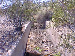
Click the photo to continue the tour
|
Tour - Next/ Previous/ Map
|
| Intro:: Nature:: Map:: Points of Interest:: Roads & Trails:: People & History:: Ghosts & Gold:: Communities:: BLOG:: Weather:: :?:: glossary |
|
Country Life Realty Wrightwood, Ca. |
Mountain Hardware Wrightwood, Ca. |
Canyon Cartography |
DesertLink Links to Desert Museums |
Grizzly Cafe Family Dining |

|
Abraxas Engineering privacy |
These items are historical in scope and are intended for educational purposes only; they are not meant as an aid for travel planning. Copyright ©Walter Feller. 1995-2023 - All rights reserved. |