-.-
Moran Point
 -
- 
 -
- 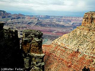
Moran Point bears the name of Thomas Moran, the painter whose western landscapes helped many Americans understand why such country ought to be protected. He painted the distance, the light, and the shadows moving across the land. At this point, the canyon gives you the same work to do: stand still, watch awhile, and see how the day changes the walls.
Thomas Moran
In 1873, Thomas Moran traveled with John Wesley Powell's exploration of the Grand Canyon and the Colorado Plateau. He came back with sketches and memories of a country too large to be held easily on a canvas. But he tried.
His painting, "The Chasm of the Colorado," completed in 1873-1874, was as large in ambition as his earlier Yellowstone painting. In 1874, Congress bought it for $10,000. It became one of Moran's great western landscapes to hang in the United States Capitol and is now part of the Smithsonian collection, held at the National Gallery of Art in Washington, D.C.
Geology in Depth: Grand Canyon Supergroup
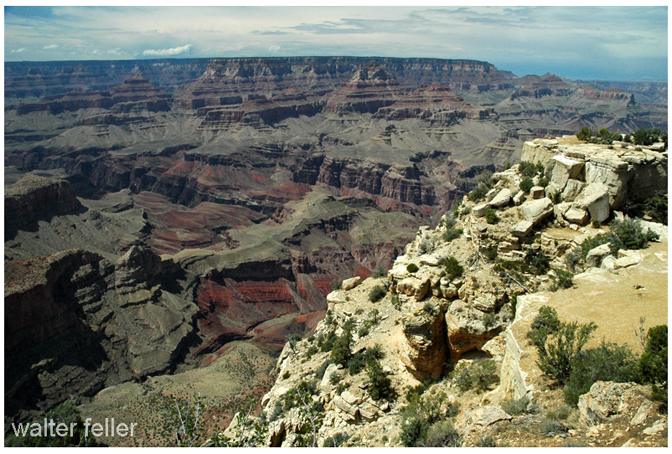
Geology is present at every Grand Canyon overlook, whether a visitor knows the names of the rocks or not. At Moran Point, it is especially plain. From here, the three principal rock groups of the canyon can be seen together.
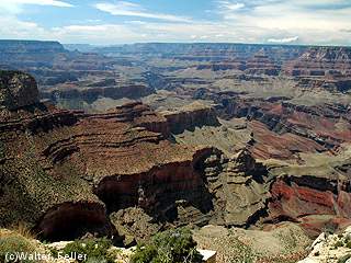
Most of the canyon walls are made of flat, horizontal sedimentary layers known as the Layered Paleozoic Rocks. Below them are the tilted beds of the Grand Canyon Supergroup. They occur in only a few places along the canyon, but Moran Point is one of the rim locations where they can be seen clearly. Farther down still are the black Vishnu Schist and pink Zoroaster Granite, along with related metamorphic and igneous rocks. These Vishnu basement rocks are the oldest in the canyon and lie near the Colorado River beneath all the later layers.
The tilted strata visible from the point are part of the Grand Canyon Supergroup. Look north across the canyon and they show in the North Rim walls. The lower half, the Unkar Group, is about 1,255 to 1,100 million years old. It was laid down by north-flowing ancient rivers carrying sand and mud from mountains that have long since worn away. Those mountains stood in country now associated with West Texas.
The upper part of the Supergroup, the Chuar Group, is not visible from this point. It was deposited about 780 to 729 million years ago in a shallow sea, when Earth's continents were joined in the supercontinent Rodinia. Stromatolites in both groups preserve evidence of single-celled life in those ancient shallow waters. Chuaria fossils, found in these layers, are small remains of single-celled organisms about 750 million years old.
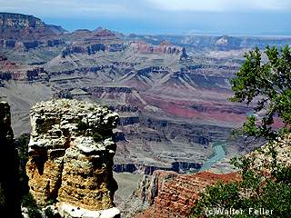
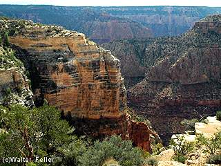
From Moran Point, the tilted rocks of the Supergroup stand out to the north. To the west, they rest upon the black and pink Vishnu basement rocks. A short visible reach of the Colorado River cuts through the orange Hakatai Shale, with brown cliffs of Shinumo Sandstone above it. The same orange layers appear below the overlook on this side of the river.
Beyond them, on the far side of the canyon, four distinct rock units can be picked out above the Vishnu basement rocks: a dark sill of Cardenas Basalt, purple Bass Formation, orange Hakatai Shale, and brown Shinumo Sandstone. There they are, one upon another, the old earth showing its work without hurry.