Pilot Rock
Pilot Rock was an essential waypoint for travelers approaching from the Mojave River Trail. The towering formation signaled the spot where the Old Mormon Wagon Road veered away from the river and began its descent into Cajon Pass. This shift marked the transition from the open desert to more accessible lands beyond the mountains, making Pilot Rock a critical navigational marker for those journeying through the often unforgiving Mojave region.
Its prominence provided reassurance to settlers, traders, and other travelers, confirming they were on the right path as they moved closer to the pass—a vital corridor linking the Mojave Desert to Southern California.
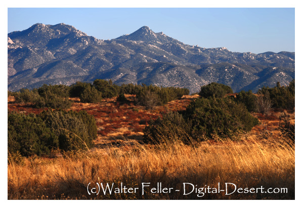
Rising to 5,438 feet in the San Bernardino National Forest, Pilot Rock stands about 18 miles south of Victorville, California. The name "Pilot" was commonly used by overland immigrants, prospectors, and surveyors for landmarks that helped guide them in the right direction.
Pilot Rock directed travelers toward the Mojave River and to the point where the Old Mormon Wagon Road left the river to descend into Cajon Pass.
Reference: Mojave Desert Dictionary - Mojave River Valley Museum
Victorville, Ca.
Mojave River
Old Morman Wagon Road
Cajon Pass.
Reference: Mojave Desert Dictionary - Mojave River Valley Museum
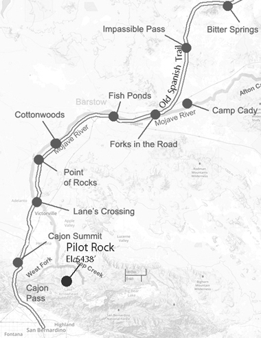
Cajon Pass