/victorville-ca/
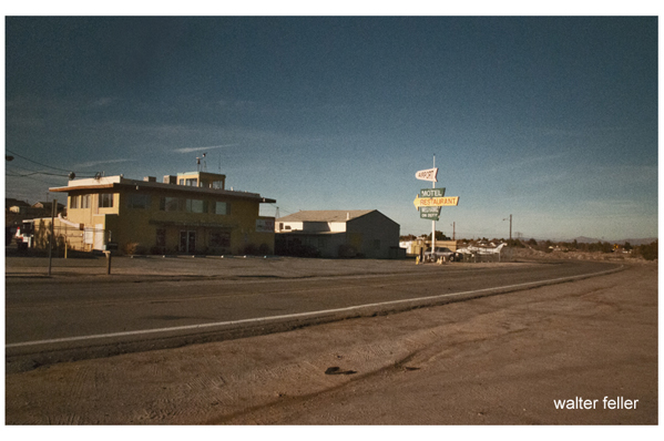
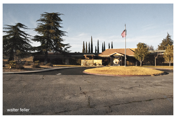
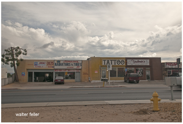
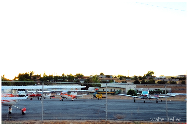
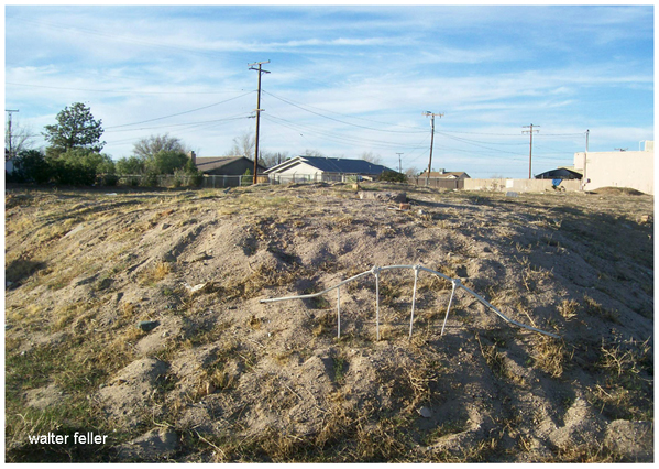
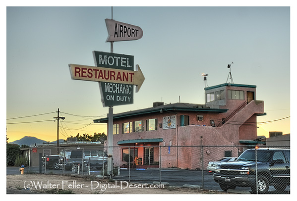
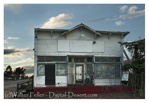
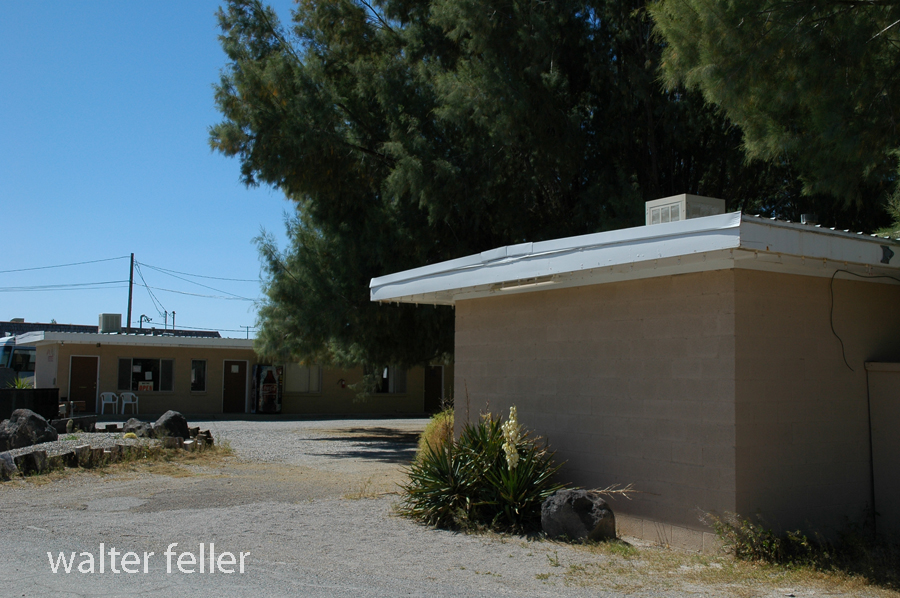
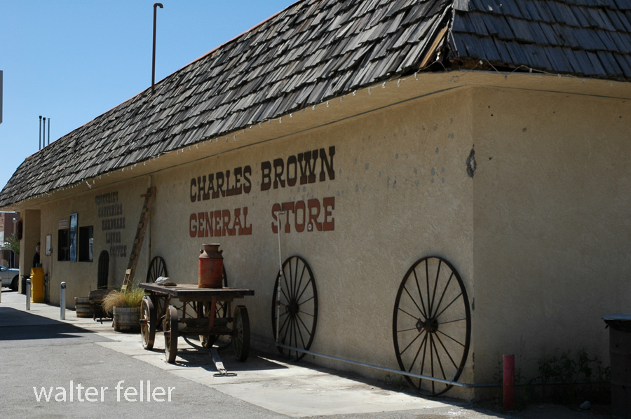
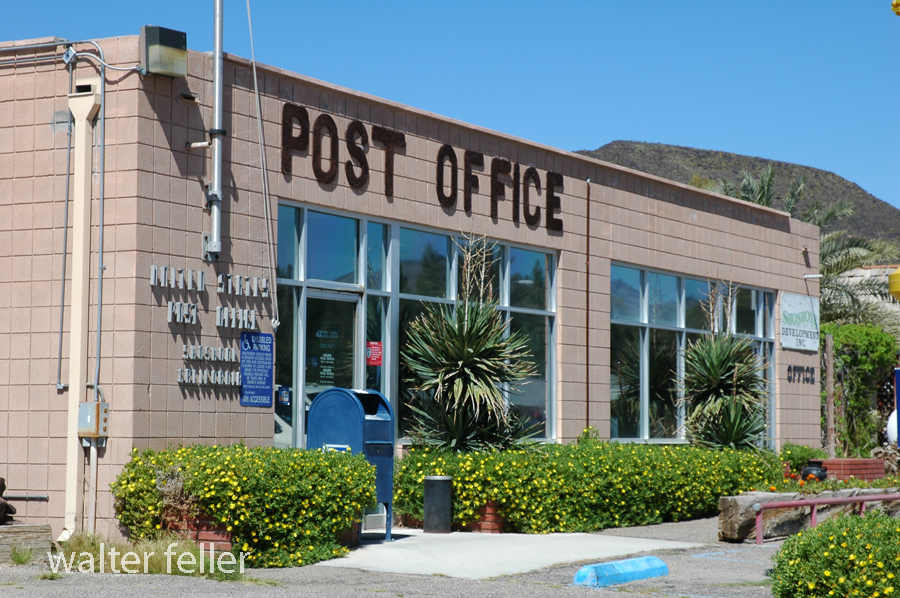
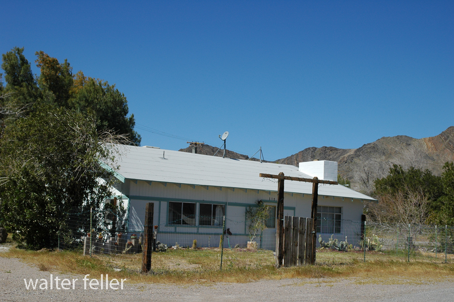
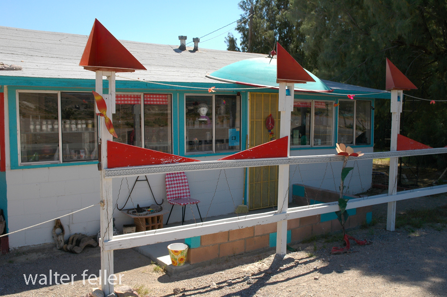
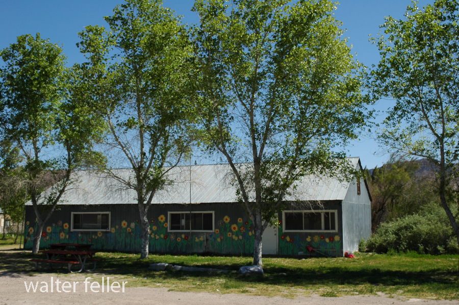
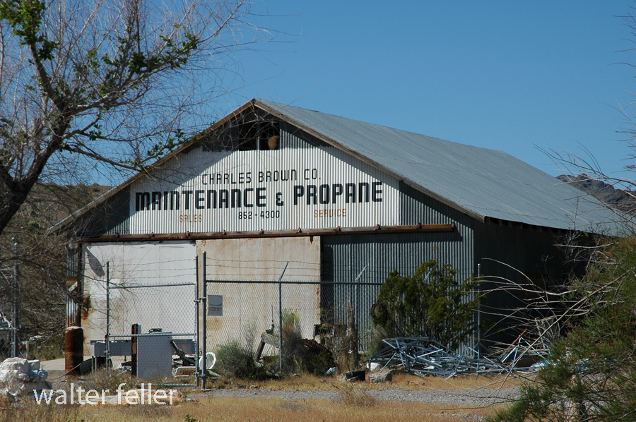
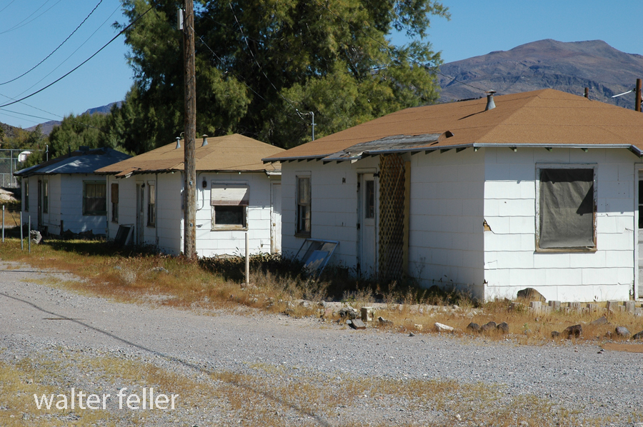
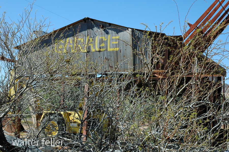
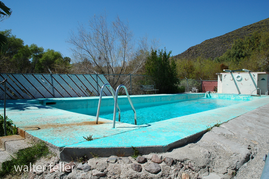
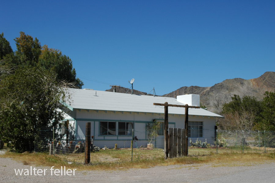
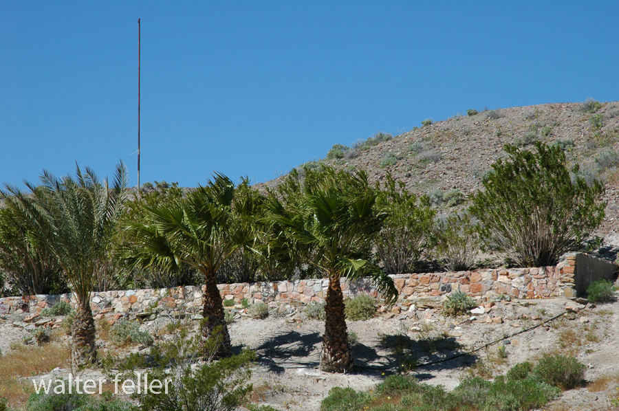
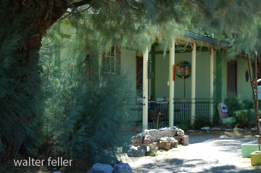
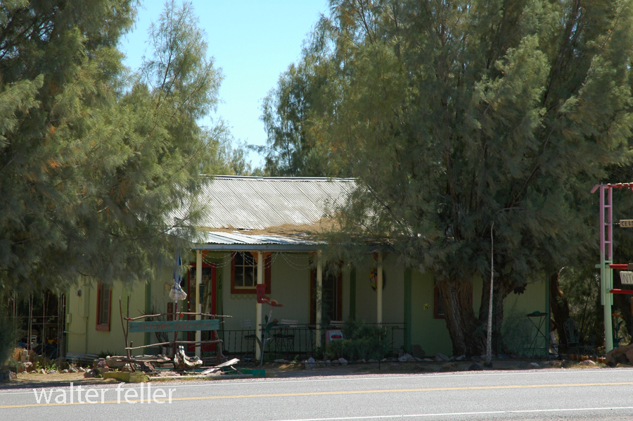
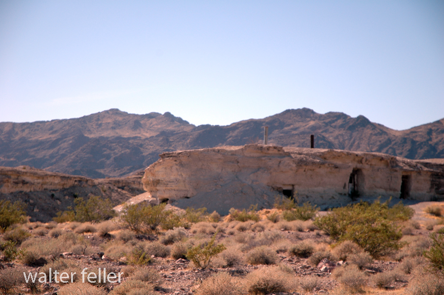
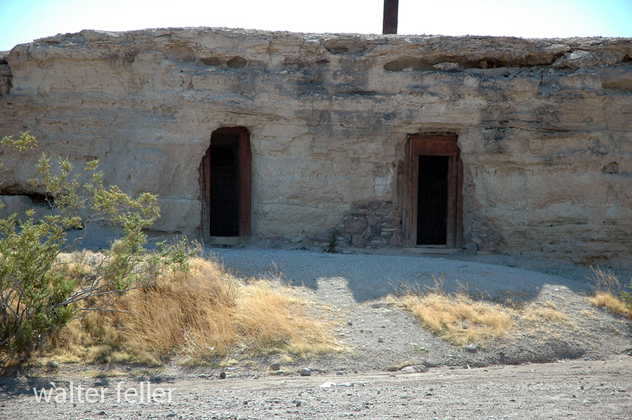
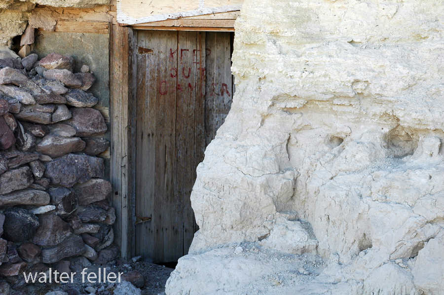
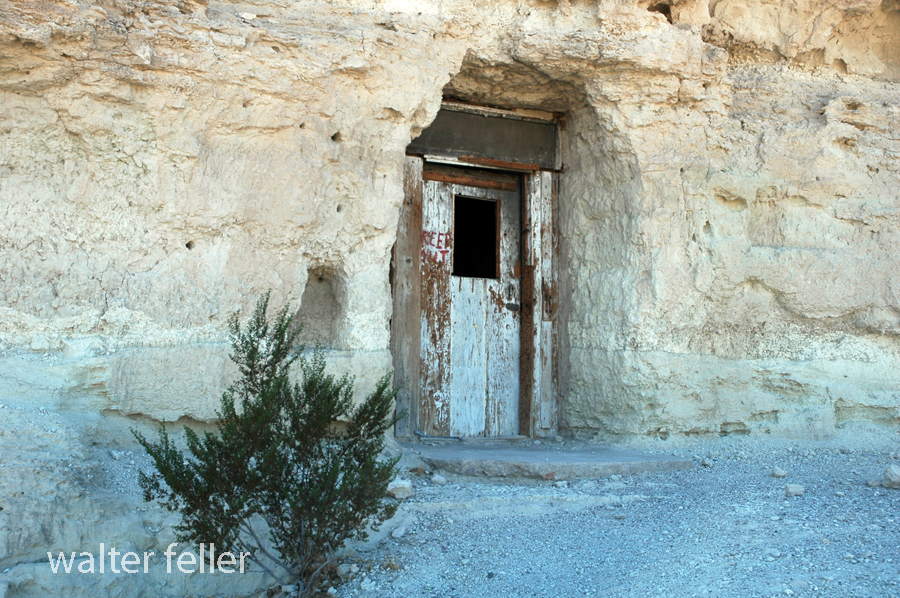
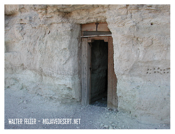
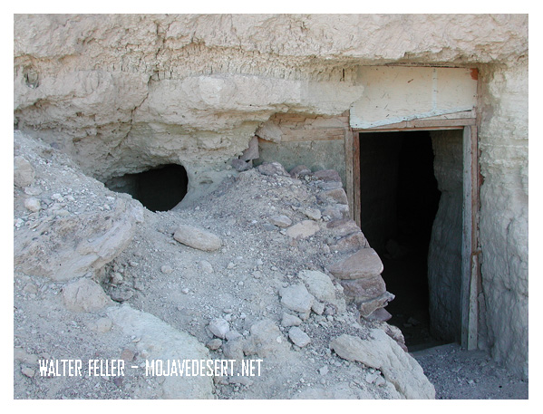
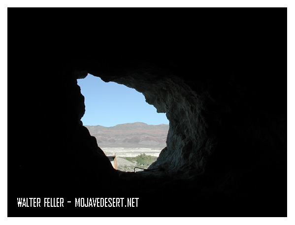
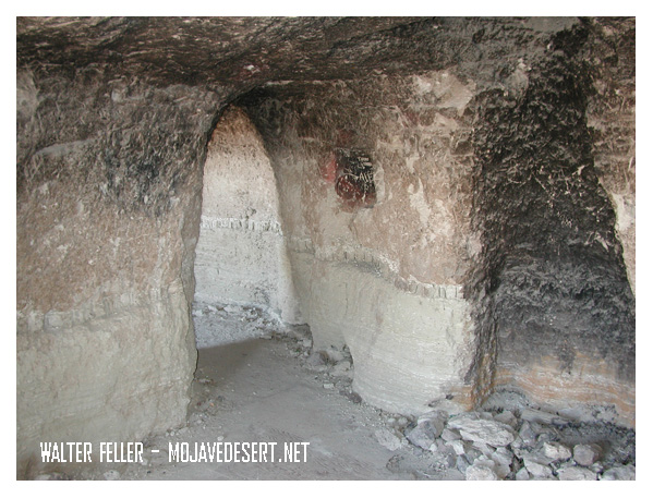
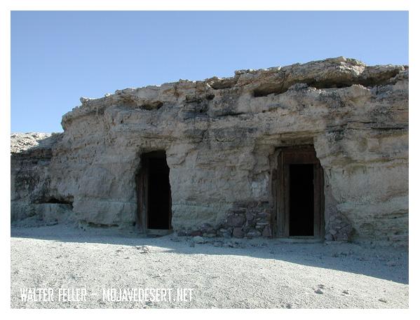
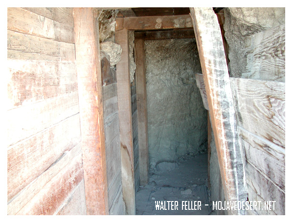
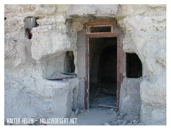
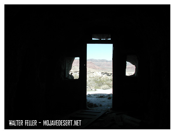
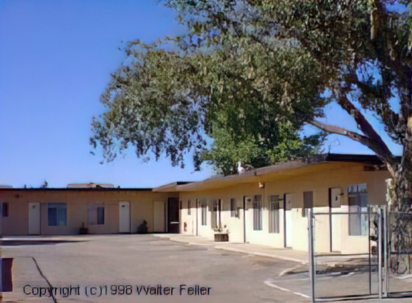
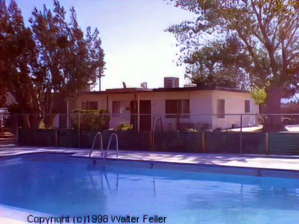
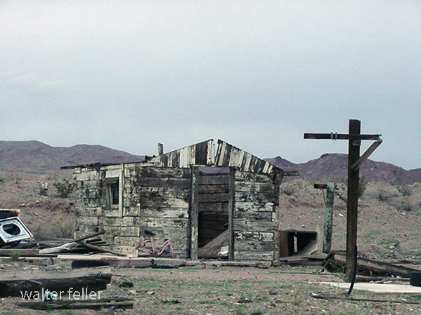
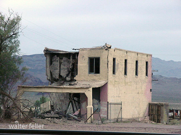
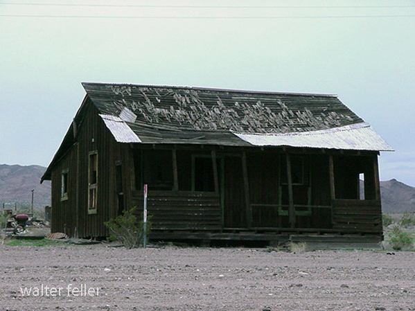
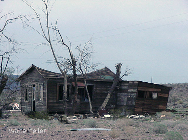
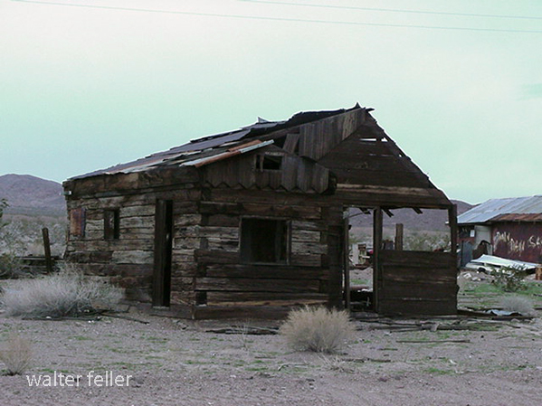
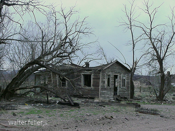
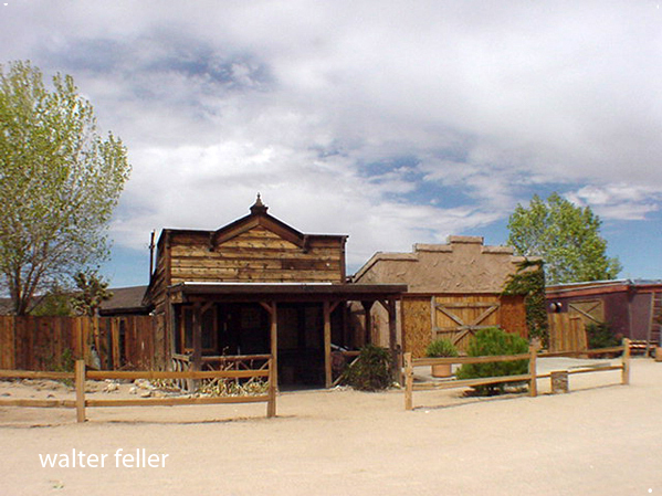
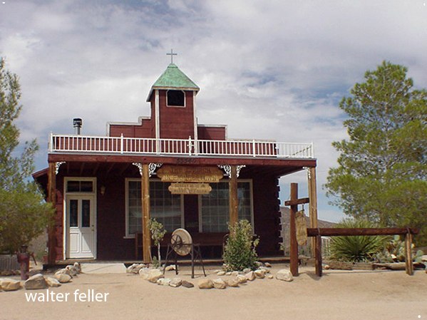
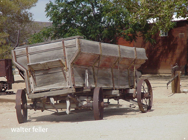
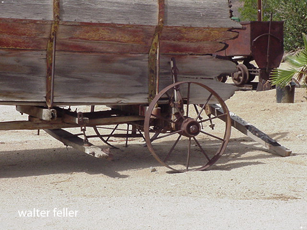
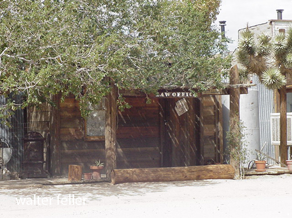
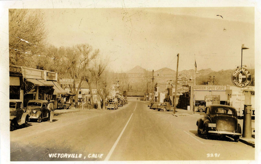
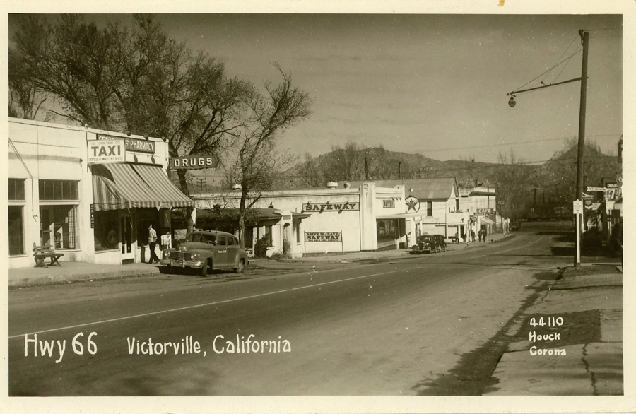
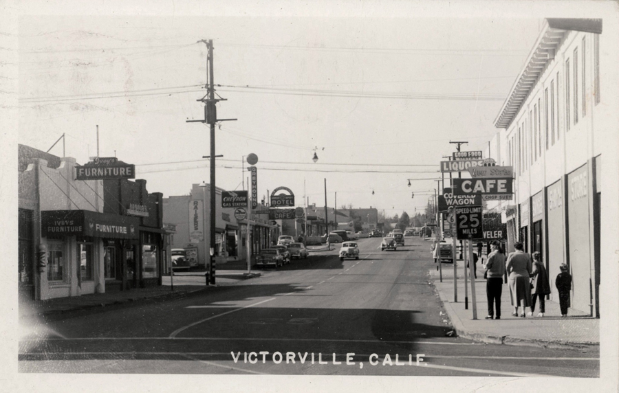
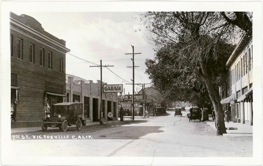
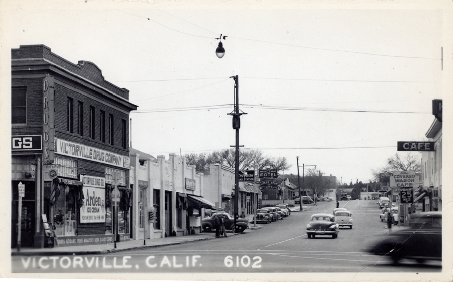
Collection of photos showing mostly Seventh and “D” Street area.

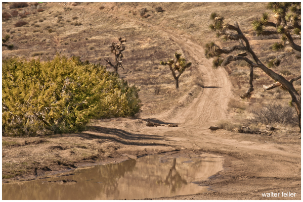
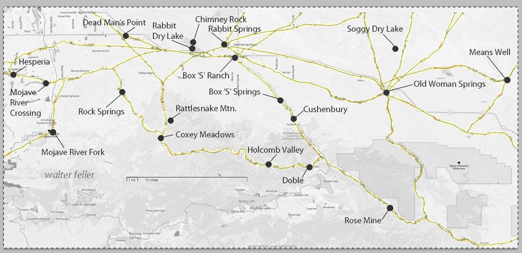
These maps are based on a USGS 1901 base map and overlay onto a current street map. This series was developed to show how the dependence on potable water for man or beast shaped the transportation network in the late 19th Century.
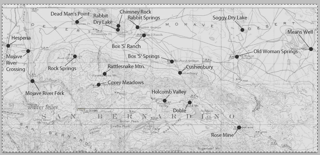
This map identifies various geographic locations, general features, and roads throughout the Lucerne & Johnson valleys as it was in 1901.
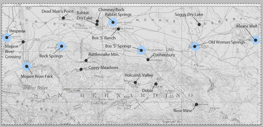
The blue marks show reliable water and rest stops as would be used by travelers and teamsters. These water stops are roughly 10 miles apart as the roads go.
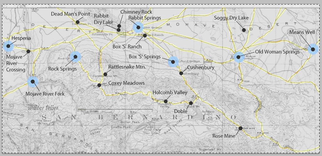
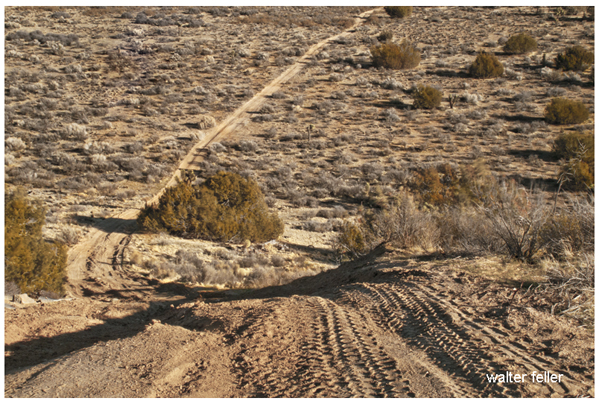
The generalized trails connecting the water and rest stops are highlighted. A few redundant and miscellaneous trails have been purposely omitted for clarity.
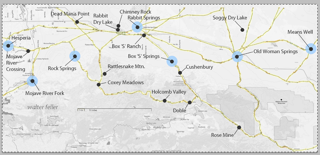
This map has had the 1901 base map replaced with a current street map.
This map has had the water node locations removed.
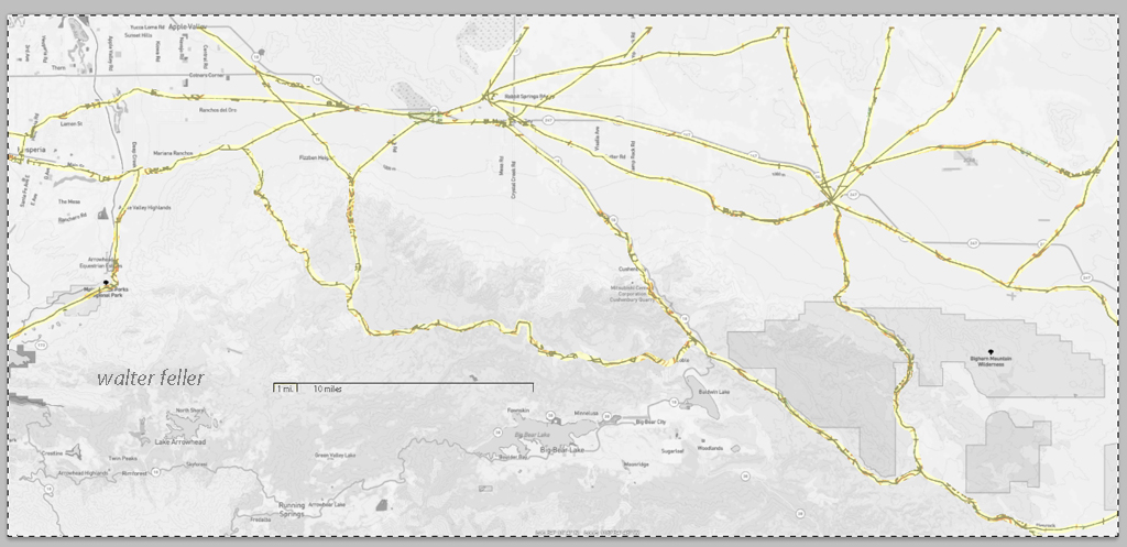
Finally, the 1901 trails have been highlighted and the location labels removed for clarity in showing the relationship between the roads then and now.
LIST OF ILLUSTRATIONS –
Mojave Administrative History; NPS – Eric Nystrom
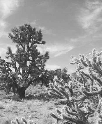
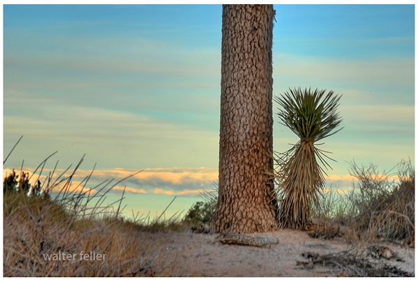
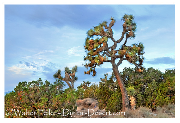
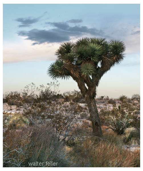
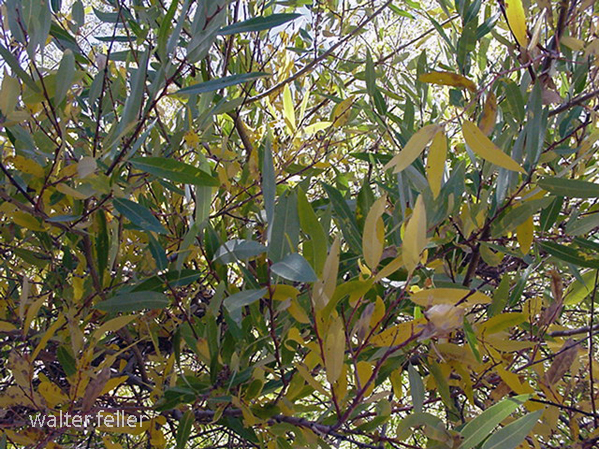
Illustration 1 – Joshua tree and buckhorn cholla

Illustration 2 – Prehistoric petroglyphs at Indian Well
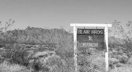
Illustration 3 – The 7IL Ranch
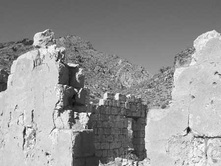
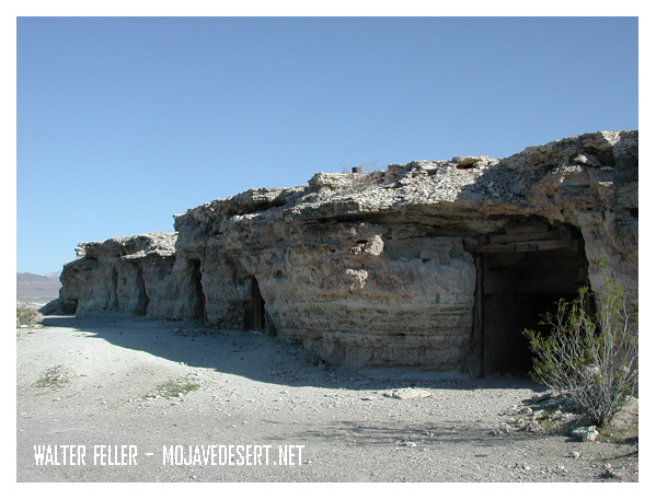
Illustration 4 – Stone walls of 1880s-era Providence
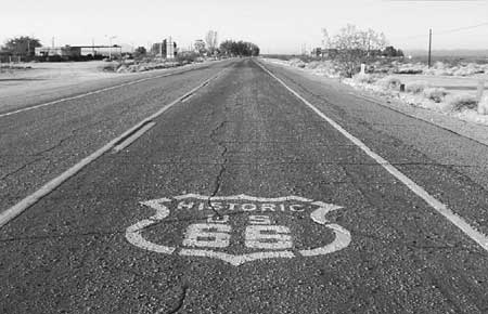
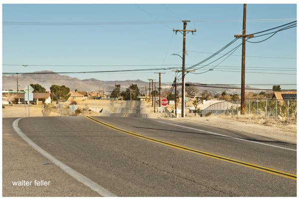
Illustration 5 – U.S. Highway 66, Essex, California
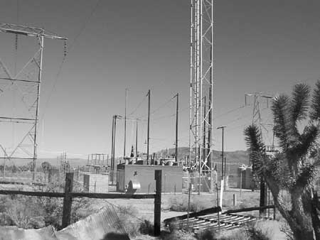
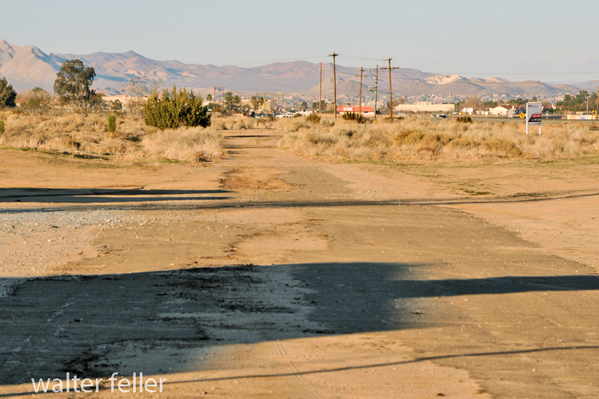
Illustration 6 – High-tension power wires and associated infrastructure
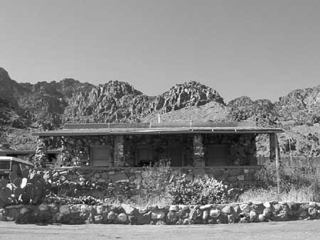
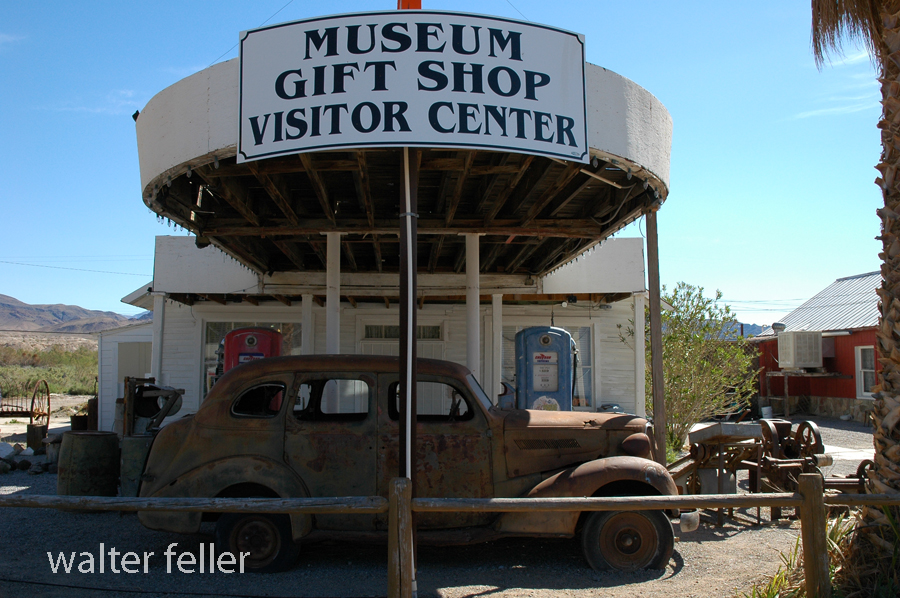
Illustration 7 – Visitor’s center for Providence Mountains State Recreation Area
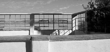
Illustration 8 – Zzyzx

Illustration 9 – Four-wheel drive vehicles traveling the Mojave Road
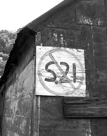
Illustration 10 – Painted sign opposing S.21
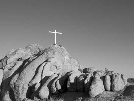
Illustration 11 – Cross on Sunrise Rock
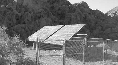
Illustration 12 – Solar panels at Hole-in-the-Wall

Illustration 13 – Mojave National Preserve entrance monument
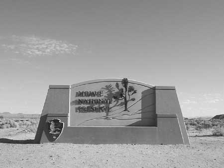
Illustration 14 – Official logo of Mojave National Preserve

Illustration 15 – Buildings at the New Trail Mine

Illustration 16 – Graffiti on Kelbaker Road
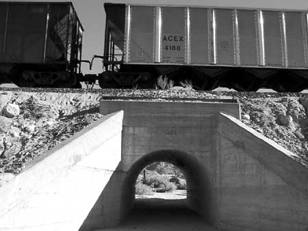
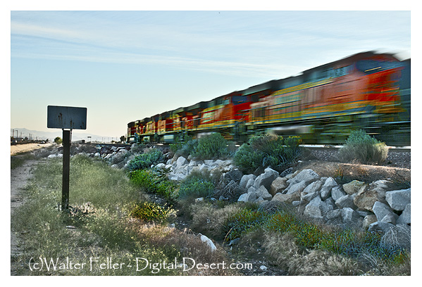
Illustration 17 – The Union Pacific Railroad
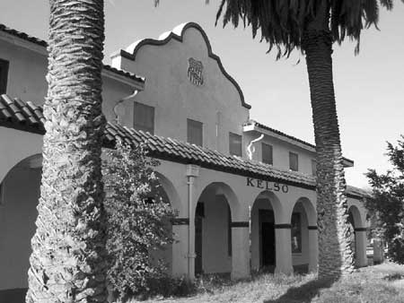
Illustration 18 – Kelso Depot
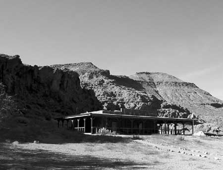
Illustration 19 – NPS visitors’ center at Hole-in-the-Wall
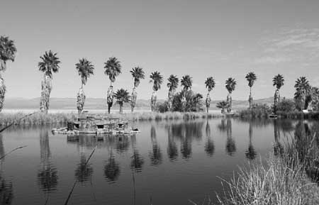
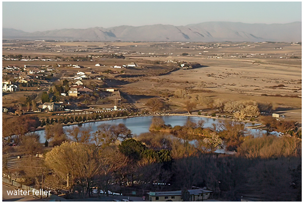
Illustration 20 – Lake Tuendae at Zzyzx
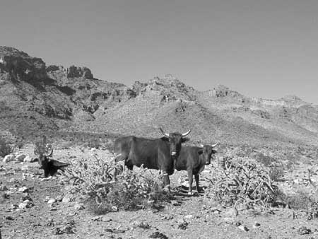
Illustration 21 – Desert cattle
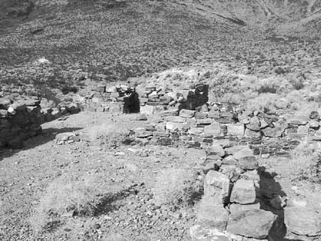
Illustration 22 – Rock walls of the military outpost at Piute Creek
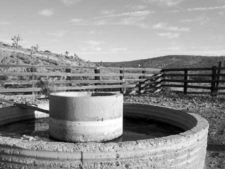
Illustration 23 – The Rock Springs Land & Cattle Company trough and corral
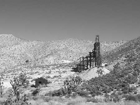
Illustration 24 – Headframe of the Evening Star Mine
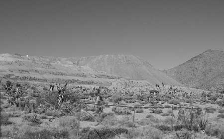
Illustration 25 – Morning Star Mine
—